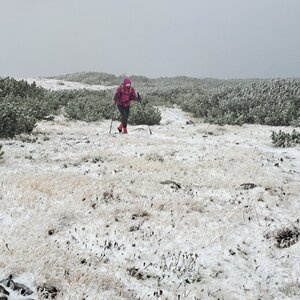
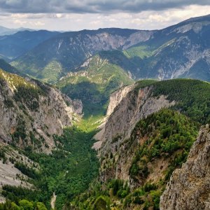
Hiking, 16 km
11.10.2025
 Rakousko
Logged on Vrcholovka 16x in total. Vrchol Losbühel was added here by Pavla Lžičařová and info was completed by Martin Matějka a Jiří Králík.
The most interesting ascent is via the ferrata from the west. The easiest route is from the east on foot. There is a viewpoint at the summit.
1.2 km east
Peak is not stroller accessible.
There are views from the peak.
There is no cable car to this peak.
possible ferrata set.
Peak is freely accessible.
Nearest peaks: Hocheck (1386 m, 1.2 km) Hat (1697 m, 1.3 km) Jakobskogel (1737 m, 1.3 km) Törlkopf (1607 m, 1.4 km) Loskogel (1714 m, 1.6 km) Vormäuerkammerl (1604 m, 1.6 km) Hohe Kanzel (1699 m, 1.8 km) Weißkogel (1765 m, 1.9 km) Preiner Wand SV2 (1793 m, 2.4 km) Edelweisskogel (1583 m, 2.5 km) Preiner Wand SV (1794 m, 2.5 km) Preiner Wand (1783 m, 2.8 km)
 Výstup na Windberg
 Přechod náhorní planiny Raxalpe
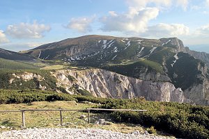 Sněžnicový výstup na nejvyšší vrchol pohoří Raxalpe – Heukuppe
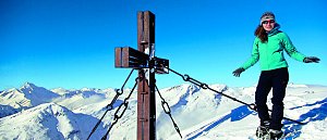 Výstup na špičku rakouské Sněžky - Klosterwappen
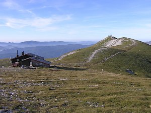 Přechod Heukuppe přes ferraty Alpevereinsteig a Bismarcksteig
Výstup okruhem na Vídeňský Sněžník - Schneeberg

 Gemeinde Reichenau an der Rax › East: Rax Cableway
 Katastralgemeinde Klein- und Grossau: Raxseilbahn - Raxalm Berggasthof
 Karl Ludwighaus › East: Reichenau an der Rax − Payerbach − Gloggnitz
 Gemeinde Puchberg am Schneeberg › South-West
 Gemeinde Puchberg am Schneeberg: Schneeberg Fischerhuette
 Gemeinde Puchberg am Schneeberg › North
 Gemeinde Puchberg am Schneeberg › South
 Losenheim: Wetter-Webcam Puchberg am Schneeberg

| today | tomorrow | day after tomorrow | |
|---|---|---|---|
| Dawn: | 6:56 | 6:57 | 5:59 |
| Sunrise: | 7:27 | 7:29 | 6:30 |
| Sunset: | 17:54 | 17:53 | 16:51 |
| Dusk: | 18:26 | 18:24 | 17:23 |