




Hiking
st, 20.7.2022, 5:59
 Rakousko
Logged on Vrcholovka 1x in total. Vrchol Vordere Kendlspitze was added here by Bouřka and info was completed by Martin Matějka.
The ascent along the red trail from the hut takes about 2 hours - first a half-hour approach to the wall, which is traversed by a narrow path equipped with a steel cable. This leads to the Dürrenfeldscharte saddle (2823 m). From the saddle, continue left along a traverse into a gully that is unpleasantly broken and loose. Ascend steeply up the gully to a small saddle and from there easily along the airy ridge (again with a steel cable) to the summit. Beautiful views. Descent back to the hut takes about 1 hour.
The secured sections are not difficult, but some exposure should be expected. It would probably not be ideal in rain/snow/wet conditions. A nice shorter hike while staying at the hut.
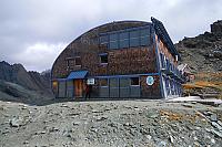
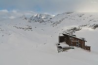
Sudetendeutsche Hütte, 2650m.
Peak is not stroller accessible.
There are views from the peak.
There is no cable car to this peak.
No special equipment is required for this summit.
Peak is freely accessible.
Nearest peaks: Gradötzkogel (3063 m, 1.2 km) Bretterwandspitze (2887 m, 1.3 km) Blauer Knopf (2593 m, 2.2 km) Weißer Knopf (2577 m, 2.3 km) Blauspitze (2575 m, 2.4 km) Wellachköpfe Südgipfel (3037 m, 2.4 km) Bunzkögele (2430 m, 2.5 km) Ganotzkogel (2519 m, 2.6 km) Wellachköpfe Westgipfel (2960 m, 2.6 km) Wellachköpfe Nordgipfel 1 (3110 m, 2.8 km) Wellachköpfe Nordgipfel 2 (3117 m, 2.8 km) Kalser Höhe (2434 m, 3 km)
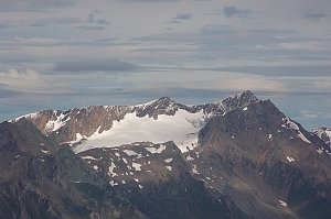 Výstup na třítisícový vrchol Granatspitze (3086 m) ve Vysokých Taurách
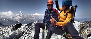 Výstup na vrcholy Granatspitze a Sonnblick
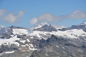 Výstup na sněhovou horu Johannisberg (3463 m) ve Vysokých Taurách
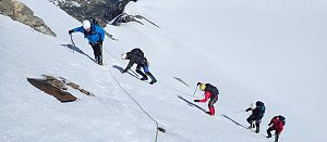
 Gemeinde Kals am Grossglockner: Kals am Großglockner, Großglockner - Adlerlounge, Cimaross
 Kals am Großglockner: Blick nach Westen
 Matrei in Osttirol › North-West
 Matrei in Osttirol: St. Nikolaus
 Marktgemeinde Matrei in Osttirol: Matrei in Osttirol - Steigerhof - Blick nach Westen
 Glor: Kals am Großglockner − Blick nach Nordosten

| today | tomorrow | day after tomorrow | |
|---|---|---|---|
| Dawn: | 6:16 | 6:17 | 6:19 |
| Sunrise: | 6:47 | 6:49 | 6:50 |
| Sunset: | 16:58 | 16:57 | 16:55 |
| Dusk: | 17:30 | 17:28 | 17:27 |