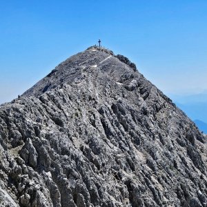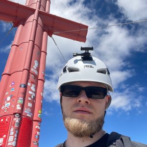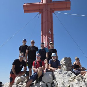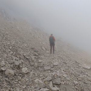



Via ferrata, 17 km
7.7.2026
 Rakousko
Logged on Vrcholovka 63x in total. Vrchol Großer Priel was added here by Martin Malý and info was completed by Martin Malý, Iveta Válová, Bára Barčí, Milan "Hojší" Průžek, Alexandr Starý a Martin Matějka.
Großer Priel is part of challenges: Austrian Alps, Král Totes Gebirge, TOP 10 Austria, Ultraprominent Europe, Ultraprominentní Rakousko, Vápencové ultraperly východních Alp
The first documented ascent to the summit was made on August 29, 1817, by Sigmund Graf von Engl, Hans Jäger, Anton Engelbert, and Ferdinand Riedler.
Hiking routes:
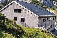
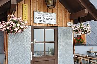
The normal ascent route from the south to Grosser Priel from Hinterstoder (599 m a.s.l.) is a technically moderately challenging mountain hike (from Hinterstoder an elevation gain of about 2 km, in the upper section a climb using a secured route type A, possibility of snowfields). The Prielschutzhaus hut (1420 m a.s.l.) can serve as a reference point.
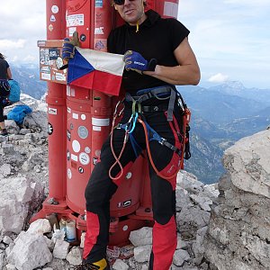
If we ascend to the summit via ferrata (klettersteig), we face a very difficult and exposed, purely technical climb. This is intended only for experienced high-altitude hikers in good weather. Many sections are very airy (some ladders are even overhanging).
...and after the construction of the new section and the connection of several independent ferratas, it is the longest ferrata in Austria, which requires sufficient time (from the parking lot and back depending on fitness about 13 hours or more).
The second normal ascent route from the north leads from the parking lot at Almtaler Hütte (774 m a.s.l.). At an altitude of 1726 meters, it passes the Welser Hütte, from which it continues to the Fleischbank Sattel pass (2123 m a.s.l.), which lies on the Totes Gebirge plateau. From the pass to the summit, it is only a 30-minute walk on a well-maintained path.
The last classic ascent route is the longest and leads from the Pühringer Hütte (1637 m a.s.l.). It is located northeast of Lake Grundlsee. At the Fleischbank Sattel pass, it connects with the route from the north and then continues the same way. It is a technically easy hiking trail.
Hut 1100m below the summit
Peak is not stroller accessible.
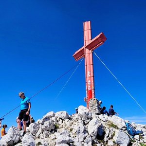
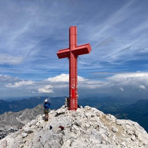
There are views from the peak.
There is no cable car to this peak.
Depends on the ascent route, there is a ferrata A/B and D leading here, for the second option I recommend a ferrata set
Peak is freely accessible.
Nearest peaks: Großer Priel Z (2478 m, 0.4 km) Brotfall (2380 m, 0.9 km) Brotfall Südgipfel (2360 m, 1.2 km) Kirtagmauer (2144 m, 1.4 km) Kreuz (2174 m, 1.4 km) Sauzahn (2260 m, 1.6 km) Blosskogel (1530 m, 1.7 km) Sauzahn SZ (2259 m, 1.7 km) Zwillingkogel (2184 m, 1.7 km) Almtaler Köpfl (2204 m, 1.8 km) Schermberg (2396 m, 2.1 km) Teufelsmauer (2185 m, 2.2 km) Weitgrubenkopf (2259 m, 2.3 km) Spitzmauer (2446 m, 2.4 km) Temlberg (2327 m, 2.8 km) Grosser Zöbel (1508 m, 3 km) Meisenberg (2119 m, 3 km) Schranken (1462 m, 3.3 km) Gürtlerspitz (1386 m, 3.9 km)
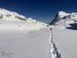 Grosser Priel od Almtaler Haus
 Výstup na Grosser Priel po feratě Bert Rinesch-Steig
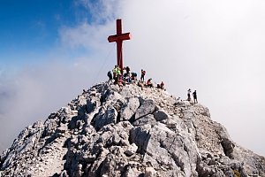 Výstup na Spitzmauer v pohoří Totes Gebirge
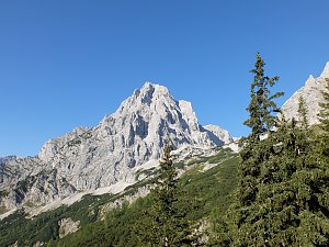 Výstup na nejvyšší vrchol pohoří Totes Gebirge - Grosser Priel
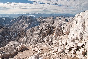 Přechod Totes Gebirge v rakouských Alpách
| today | tomorrow | day after tomorrow | |
|---|---|---|---|
| Dawn: | 6:07 | 6:08 | 6:10 |
| Sunrise: | 6:38 | 6:40 | 6:41 |
| Sunset: | 16:56 | 16:54 | 16:53 |
| Dusk: | 17:28 | 17:26 | 17:24 |