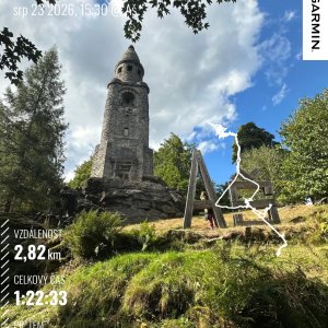

Hiking, 2 km
23.8.2026
 Česko
Cheb (Karlovarský kraj)
Logged on Vrcholovka 114x in total. Vrchol Háj was added here by Adam Kulich and info was completed by Martin Matějka, Krtek a Nojby.
Háj is part of challenges: Crown of Czechia, Extreme Peaks of the Czech Republic, Nejhory Karlovarska, Ultrakopce, Via Czechia Severní stezka, Via Czechia Southern Trail
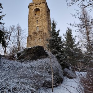
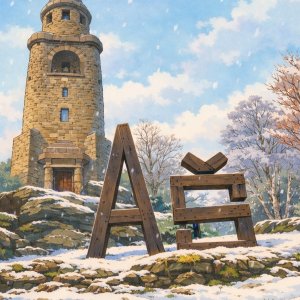
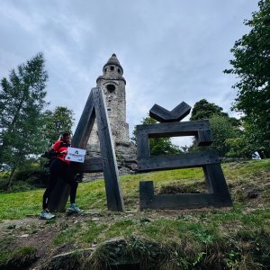
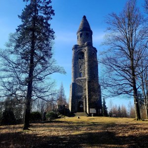
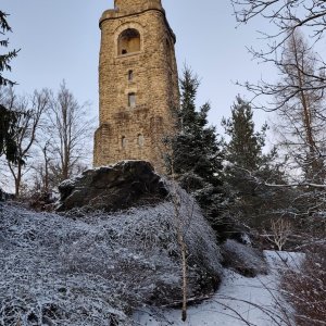
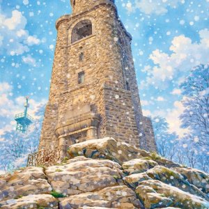
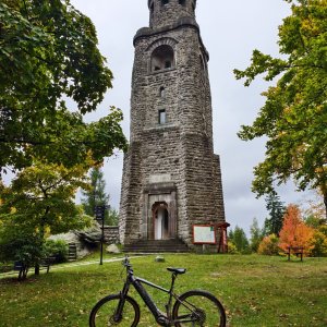
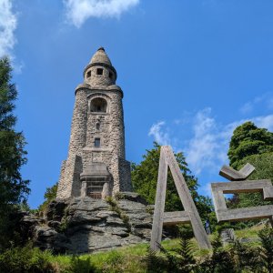
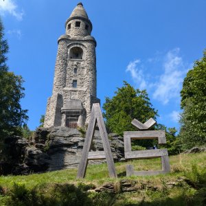
The highest mountain in the Czech part of the Smrčiny range and the westernmost Czech ultrapeak. At the summit stands the stone Bismarck Tower from 1903, which is 34 meters tall. There should be a historical point of the Royal Saxon triangulation at the top (a brass marker in front of the Bismarck Tower) - Station 149 Heinberg.
There is no chalet on the peak.
This peak is accessible with a stroller.
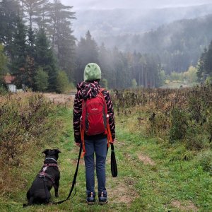
There are views from the peak.
There is no cable car to this peak.
No special equipment is required for this summit.
Peak is freely accessible.
Nearest peaks: Háj J (729 m, 0.6 km) Skřivánčí vrch (738 m, 1.6 km) At the Snow Pit (666 m, 1.9 km) Čertovy skály (663 m, 1.9 km) Skalky (681 m, 1.9 km) Selbský vrch (691 m, 2 km) At the Water Reservoir (680 m, 2.1 km) Above the Memorial (693 m, 2.4 km) Above Neuberg (591 m, 2.7 km) U Kozára (549 m, 2.8 km) Nad Hřebenovkou (698 m, 3.5 km) U Kuniho (542 m, 3.6 km)
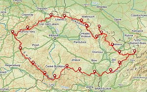 Přechod z Krásné na Klínovec
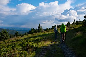 Přechod pohoří Smrčiny
| today | tomorrow | day after tomorrow | |
|---|---|---|---|
| Dawn: | 7:13 | 7:14 | 6:16 |
| Sunrise: | 7:46 | 7:48 | 6:49 |
| Sunset: | 18:04 | 18:02 | 17:00 |
| Dusk: | 18:37 | 18:35 | 17:34 |