

Hiking, 25 km
8.8.2025
 Rakousko
Logged on Vrcholovka 37x in total. Vrchol Hochschwab was added here by Denisa and info was completed by David, Martin Matějka, Milan "Hojší" Průžek a Alexandr Starý.
Hochschwab is part of challenges: Austrian Alps, King of the Eastern Alps (Hochschwab, Rax, Schneeberg, Murzsteg, Cetic), Vápencové ultraperly východních Alp
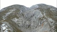
The highest peak of the mountain range of the same name. It is located in the district of Bruck-Mürzzuschlag in the Austrian state of Styria. It lies 12 km southeast of the village of Wildalpen and 24 km southwest of Mariazell.
The summit can be reached on foot via a marked hiking trail from the village of Seewiesen, passing the Voisthalerhütte and Schiestlhaus huts. It is also used in winter for skiing or snowshoeing. Hochschwab is very popular in all weather conditions.
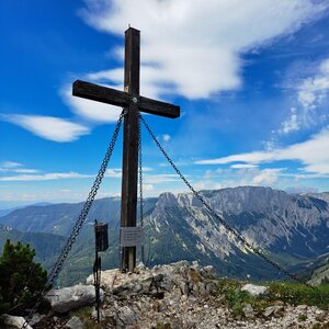
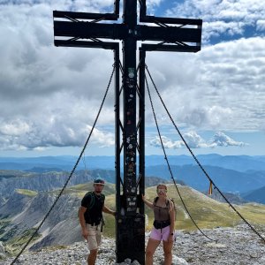
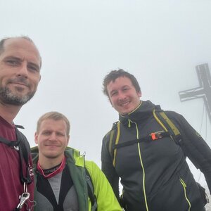
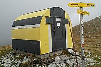
Climbers seek out the vast southern wall. Ascents end on the summit plateau near a large cross. In case of emergency, a metal bivouac hut is available.
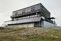
Mountain hut Schiestlhaus is located about 120 meters below the summit. Excellent cuisine.
Peak is not stroller accessible.
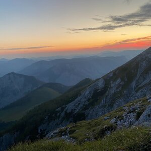
There are views from the peak.
There is no cable car to this peak.
No special equipment is required for this summit.
Peak is freely accessible.
Nearest peaks: Kleiner Hochschwab (2248 m, 0.3 km) Fleischer Rand (284 m, 0.5 km) Eismauer (2194 m, 0.8 km) Siebenbrunner Kogel (2044 m, 0.8 km) Fleischerhügel (2156 m, 0.9 km) G'hacktkogel (2213 m, 0.9 km) G'hackstein (2189 m, 1 km) Mitter Eismauer (2076 m, 1.2 km) Rotgangkogel (2090 m, 1.2 km) Hinterwiesen (2015 m, 1.3 km) Kleiner Zerbenkogel (2003 m, 1.3 km) Zerbenkogel (2046 m, 1.3 km) Kellerhugel (2154 m, 1.4 km) Mitter Zerbenkogel (2022 m, 1.4 km) Vorder Ochsenkuppe (2044 m, 1.5 km) Mitter Ochsenkuppe (2035 m, 1.6 km) Zagelkogel (2255 m, 1.6 km) Eismauer V (2068 m, 1.7 km) Karlhochkogel (2096 m, 1.7 km) Labenbecher (2183 m, 1.7 km) Ringmauer (2051 m, 1.7 km) Eismauer SV (2024 m, 1.9 km) Ochsenkuppe (1995 m, 2 km) Wetzsteinkogel (1826 m, 2 km) Kleiner Wetterkogel (2042 m, 2.1 km) Stangenkuppe (2143 m, 2.1 km) Stangenwand Z (2149 m, 2.1 km) Zagelkuppe (2151 m, 2.1 km) Klein Stangenwand (2137 m, 2.2 km) Käfereck (1897 m, 2.4 km) Mühlbachkogel (1943 m, 2.4 km) Stangenwand (2155 m, 2.4 km) Karlspitz (1903 m, 2.5 km) Mühlkarlturm (1865 m, 2.5 km) Festlbeilstein (1847 m, 2.6 km) Kleiner Festlbeilstein (1815 m, 2.7 km) Fölzkogel SV (1972 m, 2.8 km) Fölzkogel (2022 m, 3 km) Schottenkogel (1100 m, 3.4 km) Waschenriegel (1831 m, 3.6 km)
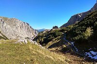
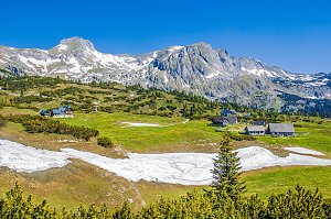
 Výstup okruhem na vrchol Hochschwab skrze kvetoucí louky
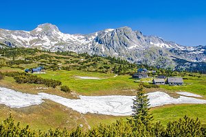 Výstup na Hochswab
| today | tomorrow | day after tomorrow | |
|---|---|---|---|
| Dawn: | 6:01 | 6:02 | 6:04 |
| Sunrise: | 6:32 | 6:34 | 6:35 |
| Sunset: | 16:54 | 16:52 | 16:50 |
| Dusk: | 17:25 | 17:23 | 17:22 |