Hohe Villerspitze (3087 m a.s.l., Stubai Alps)
Register and log summit
Weather Hohe Villerspitze

About peak Hohe Villerspitze
 Rakousko
Peak information here was completed by Martin Matějka.
AT
Difficulty II/A-16.II-B
- Chalet/accommodation
- Stroller access
- Views
- Cable car
- Equipment
- Accessibility
Nearest peaks: Rinnenspitze (3003 m, 3 km)
Routes nearby
Nejvyšší vrchol hřebene Kalkkögel - Schlicker See Spitze
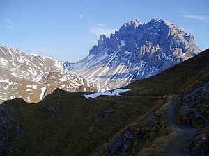 Ferratou na vrchol Grosse Ochsenwand
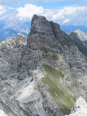 Tůra na vrchol Saile hřebene Kalkkögel
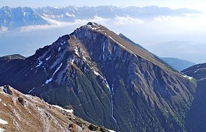 Po zajištěné cestě na vrchol Marchreisen Spitze
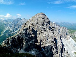 Výstup na Zuckerhütl
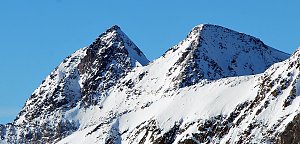 Výšlap na špici Wilder Freiger
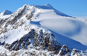 Výstup na Hochreichkopf
(elevation gain 1400 m, 20 km)
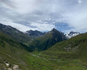 Výstup na nedostupný solitér Tribulaun a nenáročné štíty Dente Alto a Parete Bianca
(elevation gain 1800 m, 15 km)

Routes provided by SvetOutdooru.cz
Ferratou na vrchol Grosse Ochsenwand
Tůra na vrchol Saile hřebene Kalkkögel
Po zajištěné cestě na vrchol Marchreisen Spitze
Výstup na Zuckerhütl
Výšlap na špici Wilder Freiger
Výstup na Hochreichkopf(elevation gain 1400 m, 20 km)
Výstup na nedostupný solitér Tribulaun a nenáročné štíty Dente Alto a Parete Bianca(elevation gain 1800 m, 15 km)
Mountain chalets
Webcams
Gemeinde Sankt Sigmund im Sellrain › South-West
( 1.6 km)
 Franz-Senn-Hütte: Neustift im Stubaital
(2153 m a.s.l., 2.4 km)
 Gemeinde Neustift im Stubaital: Neustift im Stubaital - Oberissalm
(1740 m a.s.l., 2.5 km)
 Franz-Senn-Hütte › South-West: Franz-Senn-Hütte (2147m)
(2185 m a.s.l., 2.6 km)
 Gemeinde Sankt Sigmund im Sellrain: Lüsens - Sellraintal
( 3.4 km)
 Praxmar › South: Österreich: Blick zum Zischgeles
(1703 m a.s.l., 5.4 km)

Cameras provided by windy.com
( 1.6 km)
Franz-Senn-Hütte: Neustift im Stubaital(2153 m a.s.l., 2.4 km)
Gemeinde Neustift im Stubaital: Neustift im Stubaital - Oberissalm(1740 m a.s.l., 2.5 km)
Franz-Senn-Hütte › South-West: Franz-Senn-Hütte (2147m)(2185 m a.s.l., 2.6 km)
Gemeinde Sankt Sigmund im Sellrain: Lüsens - Sellraintal( 3.4 km)
Praxmar › South: Österreich: Blick zum Zischgeles(1703 m a.s.l., 5.4 km)
Sun
| today | tomorrow | day after tomorrow | |
|---|---|---|---|
| Dawn: | 6:27 | 6:29 | 6:30 |
| Sunrise: | 6:59 | 7:01 | 7:02 |
| Sunset: | 16:58 | 16:56 | 16:55 |
| Dusk: | 17:29 | 17:28 | 17:27 |