Durreck (3135 m a.s.l., Venediger)
Register and log summit


About peak Durreck
 Itálie
Peak information here was completed by Martin Matějka.
IT
Difficulty II/A-17.II-A
- Chalet/accommodation
- Stroller access
- Views
- Cable car
- Equipment
- Accessibility
Nearest peaks: Großer Moosstock / Picco Palù (3059 m, 1.2 km) Hochfeld / Campalto (2296 m, 2.7 km)
Routes nearby
Typický zástupce ledovcové túry - Dreiherrenspitze
(elevation gain 2200 m, 25 km)
 Výšlap na Zillerplatenspitze
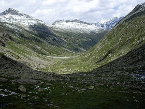 Letní výstup na Westliche Simonyspitze přes Umbalkees
(elevation gain 1100 m, 15 km)
Výstup na Reichenspitze
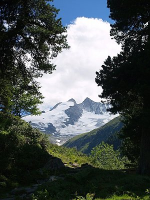
Routes provided by SvetOutdooru.cz
(elevation gain 2200 m, 25 km)
Výšlap na Zillerplatenspitze
Letní výstup na Westliche Simonyspitze přes Umbalkees(elevation gain 1100 m, 15 km)
Výstup na Reichenspitze
Webcams
Ahrntal - Valle Aurina: Klaussee, Zillertaler Alpen
( 2.6 km)
 Rein in Taufers: Hotel Berger − Blick nach Süosten
(1600 m a.s.l., 2.8 km)
 Rein in Taufers: Riva Di Tures
(1599 m a.s.l., 3 km)
 Ahrntal - Valle Aurina: Klausberg - Kabinenbahn Sonnen
( 3.3 km)
 Ahrntal - Valle Aurina: Klausberg - Kabinenbahn Sonnen
( 3.6 km)
 Ahrntal - Valle Aurina: Bergstation Kabinenbahn Klausberg, BERGSTATION K-EXPRESS
( 4.2 km)
 Cadipietra: Almboden
(1550 m a.s.l., 4.2 km)
 Ahrntal - Valle Aurina: Klausberg - Almboden
( 4.2 km)
 Ahrntal - Valle Aurina: Klausberg - Bergstation Kabinenbahn Panorama
( 4.4 km)
 Ahrntal - Valle Aurina: Klausberg - Talstation K-Express
( 5.2 km)
 San Giacomo: Hotel Markus − St. Jakob im Ahrntal
(1185 m a.s.l., 6 km)

Cameras provided by windy.com
( 2.6 km)
Rein in Taufers: Hotel Berger − Blick nach Süosten(1600 m a.s.l., 2.8 km)
Rein in Taufers: Riva Di Tures(1599 m a.s.l., 3 km)
Ahrntal - Valle Aurina: Klausberg - Kabinenbahn Sonnen( 3.3 km)
Ahrntal - Valle Aurina: Klausberg - Kabinenbahn Sonnen( 3.6 km)
Ahrntal - Valle Aurina: Bergstation Kabinenbahn Klausberg, BERGSTATION K-EXPRESS( 4.2 km)
Cadipietra: Almboden(1550 m a.s.l., 4.2 km)
Ahrntal - Valle Aurina: Klausberg - Almboden( 4.2 km)
Ahrntal - Valle Aurina: Klausberg - Bergstation Kabinenbahn Panorama( 4.4 km)
Ahrntal - Valle Aurina: Klausberg - Talstation K-Express( 5.2 km)
San Giacomo: Hotel Markus − St. Jakob im Ahrntal(1185 m a.s.l., 6 km)
Sun
| today | tomorrow | day after tomorrow | |
|---|---|---|---|
| Dawn: | 7:10 | 7:11 | 6:13 |
| Sunrise: | 7:41 | 7:42 | 6:44 |
| Sunset: | 18:11 | 18:09 | 17:07 |
| Dusk: | 18:42 | 18:40 | 17:38 |