



Hiking
so, 20.9.2025, 12:45
 Rakousko
Logged on Vrcholovka 8x in total. Peak information here was completed by Milan "Hojší" Průžek.
Hocharn is part of challenge: Austrian Alps
AT
Difficulty II/A-17.II-E
A mountain in the Goldberggruppe range (part of the Hohe Tauern) in southern Austria. It is located directly on the state border between Carinthia and Salzburg above the village of Heiligenblut, about 17 km west-southwest of the town of Bad Gastein. The Krumlkees glacier is on the northern slope, and the Hocharnkees glacier is on the eastern side. Below the southern slopes lies the Zirmsee lake. Hocharn is the highest peak of the Goldberggruppe.
The summit can be reached from two directions via marked hiking trail no. 102 (part of the long-distance trek Zentralalpenweg 02) either from the Otto-Umlauft-Biwakschachtel (2984 m a.s.l.) or from the neighboring peak Goldzechkopf (3042 m a.s.l.), which can be accessed from the west via the Alter Pocher hut (1809 m a.s.l.) or from the east from the parking lot below Kolm-Saigurn in the Hüttwinkltal valley.
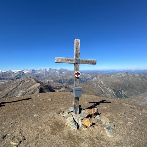
There is no chalet on the peak.
Peak is not stroller accessible.
There are views from the peak.
There is no cable car to this peak.
No special equipment is required for this summit.
Peak is freely accessible.
Nearest peaks: Artlhöhe (3084 m, 1 km) Goldzechkopf (3042 m, 1.9 km) Krumlkeeskopf (3103 m, 1.9 km) Gjaidtroghöhe (2988 m, 2.4 km) Seebichl (2546 m, 2.4 km) Hoher Sonnblick (3106 m, 2.9 km) Ritterkopf (3006 m, 3.1 km) Goldbergspitze (3073 m, 3.2 km) Waterfall Height (2565 m, 3.4 km) Rojacher Gratstein (2824 m, 3.6 km)
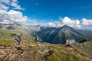 Tauernhöhenweg: Náročná hřebenovka Vysokých Taur
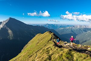 Víkendový trek nad údolím Astenal ve Vysokých Taurech v Rakousku
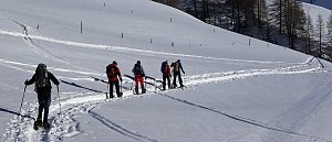 Výstup na Fuscherkarkopf
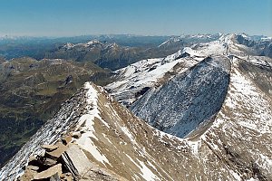 Výstup na Großes Wiesbachhorn
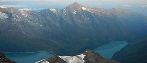 Grosses Wiesbachhorn (3564 m) – výstup na žraločí ploutev Vysokých Taur
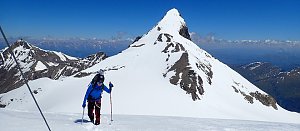 VHT přechod hřebene Vysokých Taur - Alpská maturita
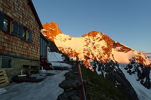
 Schachnern: Kleinfleißkees − Blick nach Nordosten zum Hohen Sonnblick
 Schachnern: Goldbergkees - Blick nach Südosten
 Kolm Saigurn: Kolm-Saigurn − Naturfreundehaus − Blick nach Süden
 Schachnern: Goldbergkees - Blick nach Nordwesten zum Hohen Sonnblick
 Rauris: Rauriser Hochalmbahnen - Bodenhaus
 Rauris: Rauriser Hochalmbahnen - Bodenhaus
 Rauris: Rauriser Hochalmbahnen - Bodenhaus
 Rauris: Rauriser Hochalmbahnen - Bodenhaus
 Rauris: Rauriser Hochalmbahnen - Bodenhaus
 Zirknitz: Mölltaler Gletscher - Bergstation Altecklift - Blick nach Nordosten

| today | tomorrow | day after tomorrow | |
|---|---|---|---|
| Dawn: | 7:08 | 6:09 | 6:10 |
| Sunrise: | 7:39 | 6:40 | 6:42 |
| Sunset: | 18:05 | 17:03 | 17:02 |
| Dusk: | 18:36 | 17:35 | 17:33 |










