





Hiking
po, 6.7.2020, 12:00
 Rakousko
Logged on Vrcholovka 1x in total. Peak information here was completed by Milan "Hojší" Průžek.
Petzeck is part of challenge: Austrian Alps
AT
Difficulty II/A-17.II-D
mountain in the Schobergruppe range (part of the Hohe Tauern) in the Austrian state of Carinthia. It lies about 14 km north of the town of Lienz.
Beneath the southwestern slopes of the mountain is the Gradenkees glacier, and to the southeast lies the Prititschkees glacier. Petzeck is the highest mountain in the Schobergruppe range.
The summit can be reached via a marked hiking trail from the Wangenitzseehütte hut (2508 m above sea level).
There is no chalet on the peak.
Peak is not stroller accessible.
There are views from the peak.
There is no cable car to this peak.
No special equipment is required for this summit.
Peak is freely accessible.
Nearest peaks: Kruckelkopf (3181 m, 0.9 km) Hoher Perschitzkopf (3128 m, 1.6 km) Großer Friedrichskopf (3134 m, 2.1 km) Großer Hornkopf (3251 m, 2.9 km)
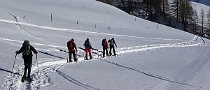 Tauernhöhenweg: Náročná hřebenovka Vysokých Taur
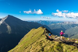 Výstup na nejvyšší vrchol Rakouska Grossglockner
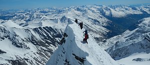 Výstup na nejvyšší vrchol Rakouska - Grossglockner přes hřeben Stüdlgrat
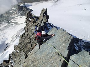 Výstup na Grossglockner ze severu, Pallaviciniho kuloárem
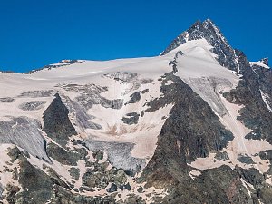 Výstup na Fuscherkarkopf
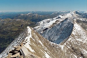 Výstup na Grosse Laserzwand v Lienzských Dolomitech
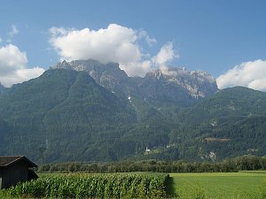 Výstup na Grosse Sandspitze - nejvyšší vrchol Lienzských Dolomit
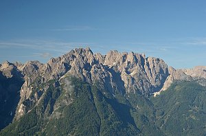 Výstup na sněhovou horu Johannisberg (3463 m) ve Vysokých Taurách
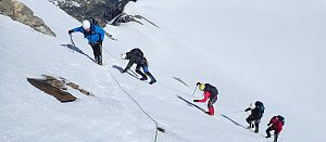 Výstup na štíty Grosser a Mittlerer Bärenkopf
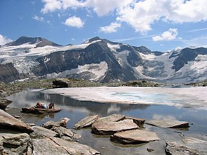
| today | tomorrow | day after tomorrow | |
|---|---|---|---|
| Dawn: | 7:07 | 7:08 | 6:09 |
| Sunrise: | 7:38 | 7:39 | 6:41 |
| Sunset: | 18:08 | 18:06 | 17:04 |
| Dusk: | 18:39 | 18:37 | 17:35 |