




Other activity, 20 km
9.9.2023
 Rakousko
Logged on Vrcholovka 3x in total. Peak information here was completed by Martin Matějka a Milan "Hojší" Průžek.
AT
Difficulty II/A-17.II-A
Keeskogel, a mountain with an elevation of 3,291 m (AA), is located in the Venediger group in the Hohe Tauern of Austria. The summit is situated about 4 km in a straight line northwest of Großvenediger (3,666 m (AA)).
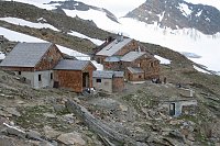
The ascent to the Kürsingerhütte (2,548 m) follows trail number 12B, then continues on the new trail no. 914, leading across rocky grassy slopes to the Kürsinger Hütte (2,548 m) - Keeskar - SW ridge and after a block ascent to the summit of Keeskogel (3,290 m) - the same way back and forth. The marked normal route from the Kürsinger Hütte (2,547 m (AA)) without a glacier is a relatively straightforward ascent in dry and snow-free conditions, taking about 1 1/2 to 2 hours to reach the summit (necessary security - below the summit, the path is secured with fixed ropes). Particularly impressive is the view from the summit on a clear day of the northern side of Großvenediger and the main chain of the Tauern, as well as the glaciated landscape of Obersulzbachkees and Untersulzbachkees.
The total ascent takes about 4 hours.
A shorter scenic ski tour to Keeskogel offers a fantastic panorama of the entire area of the main alpine ridge. Hohe Tauern at your fingertips - Grossvenediger, Grosser Geiger, and Schlieferspitze. The final exposed ridge requires some climbing skills, grade I to II UIAA. It greatly depends on the snow conditions.
Keeskogel next to Venediger on Horydoly
There is no chalet on the peak.
Peak is not stroller accessible.
There are views from the peak.
There is no cable car to this peak.
No special equipment is required for this summit.
Peak is freely accessible.
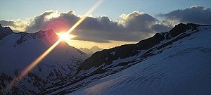 Výstup na Großvenediger přes Neue Prager Hütte
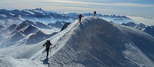 Výstup na vrchol Krisstalwand
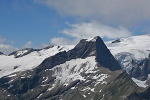 Výstup na vrchol Weisspitze
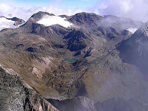 Letní výstup na Westliche Simonyspitze přes Umbalkees

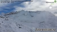 Marktgemeinde Neukirchen am Grossvenediger: Kürsingerhütte - Blick nach Süden zum Großen Geiger
 Gemeinde Bramberg am Wildkogel: Goßkopf

| today | tomorrow | day after tomorrow | |
|---|---|---|---|
| Dawn: | 7:09 | 7:10 | 6:12 |
| Sunrise: | 7:40 | 7:41 | 6:43 |
| Sunset: | 18:09 | 18:07 | 17:06 |
| Dusk: | 18:40 | 18:39 | 17:37 |


