




Ski touring
ne, 9.4.2023, 13:00
 Rakousko
 Švýcarsko
Logged on Vrcholovka 4x in total. Peak information here was completed by David Karásek, Pája a Milan "Hojší" Průžek.
Piz Buin is part of challenge: Austrian Alps
AT/CH
Difficulty II/A-15.VI-A
is the third highest peak of the Silvretta mountain range. It is located on the state border between Austria (federal state of Vorarlberg) and Switzerland (canton of Graubünden). A wooden cross is erected at the summit. It is the highest mountain in Vorarlberg.
In close proximity stands the slightly lower peak Piz Buin Pitschen also known as Kleiner Piz Buin (3,255 m), separated by the narrow Buinlücke saddle (3,054 m above sea level) Both peaks are accessible only by climbing.
The first ascent of Piz Buin was made on July 14, 1865, by climbers Joseph Anton Specht from Austria and Johann Jakob Weilenmann from Switzerland, accompanied by two mountain guides from the Montafon valley named Jakob Pfitscher and Franz Pöll.
Today, the majority of ascents take place from the north from the Austrian side starting at the Silvretta-Stausee reservoir, through the Wiesbadener Hütte mountain hut to the Ochsentaler Glacier and up to the Buinlücke saddle. From there, the rocky northwestern ridge leads to the summit. The final ridge reaches climbing difficulty 2 UIAA.
The Buinlücke saddle can also be accessed from the Swiss side from the village of Guarda around the Chamonna Tuoi mountain hut.
The ascent is possible in summer on foot and in winter on skis. In every season, the use of climbing glacier gear including ropes, crampons, and ice axes is essential.
Bivouac at the Vermuntjoch saddle 500 m below the summit.
Peak is not stroller accessible.
There are views from the peak.
There is no cable car to this peak.
In every season, the use of climbing glacier gear including ropes, crampons, and ice axes is essential.
The summit is accessible only by climbing.
Nearest peaks: Kleiner Piz Buin (3255 m, 0.5 km) Piz Jeramias (3136 m, 1.7 km) Signalhorn (3210 m, 1.8 km) Piz Fliana (3281 m, 2 km) Dreiländerspitze (3197 m, 2.1 km) Silvretta Egghorn (3147 m, 2.2 km) Silvrettahorn (3244 m, 2.5 km)
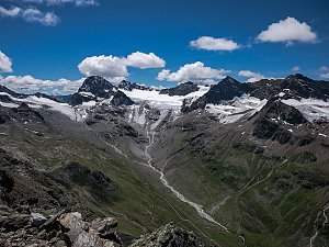 Výstup na Dreiländerspitze: pyramida na hranici Rakouska a Švýcarska
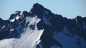 Výstup na vrchol Vallüla od silnice Silvretta Hochalpenstrasse
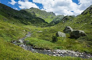
 Gemeinde Galtur: Rußkopf - Blick nach Südwesten zum Jamtalferner
 Jamtalhütte › South: Jamtalferner
 Jamtalhütte › South-West

| today | tomorrow | day after tomorrow | |
|---|---|---|---|
| Dawn: | 6:21 | 6:23 | 6:24 |
| Sunrise: | 6:53 | 6:54 | 6:56 |
| Sunset: | 17:13 | 17:12 | 17:10 |
| Dusk: | 17:45 | 17:43 | 17:41 |



