




Via ferrata, 11 km
21.8.2021
 Rakousko
Logged on Vrcholovka 1x in total. Vrchol Lisunspitze was added here by Milan "Hojší" Průžek.
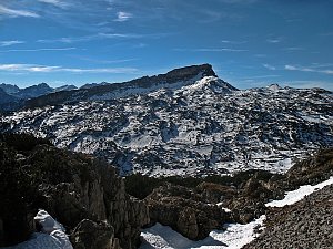
The Valluga group and northern ridges are the western end of the Lechtal Alps. This subrange has the highest number of ski lifts and chairlifts in these Alps, making the ascent routes much shorter than almost anywhere else in the range. Moreover, most peaks are also close to villages, yet they are often not climbed.
It is a European watershed that flows either into the North Sea or into the Black Sea (and thus into the Mediterranean).
The beautiful ridge via ferrata Arlberger Klettersteig crosses 5 of these peaks, which are otherwise more or less inaccessible for climbing.
According to the nomenclature provided by Spiehler (Zeitschrift 1885), it is a gentle rocky ridge in the main ridge from Knoppen-Joch, the third summit point, from which a rocky ridge leads crown-like to Weissschrofenspitze and encloses the "Verborgene Kar". On the new special map, this gorge is unnamed, and Spiehler's "Verborgene Pleisss" bears this name.
There is no chalet on the peak.
Peak is not stroller accessible.
There are views from the peak.
There is no cable car to this peak.
Special equipment is required for this summit.
Peak is freely accessible.
Nearest peaks: Lorfekopf (2689 m, 0.2 km) Knoppenjochspitze (2680 m, 0.4 km) Weißschrofenspitze (2752 m, 0.9 km) Valluga (2808 m, 1.7 km)
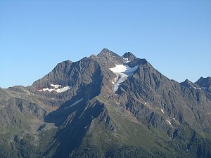 Výstup na Biberkopf
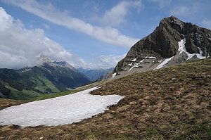 Výstup na Grosser Widderstein - skalnatou dominantu údolí Kleinwalsertal
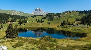 Výstup na Grosser Krottenkopf - nejvyšší horu Allgäuských Alp
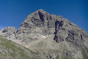 Vycházka na sněžnicích jako zpestření lyžovačky ve švýcarském Samnaunu
 Výstup na Hoher Ifen a okruh kamenným mořem Gottesacker Plateau
 St. Anton am Arlberg: Arlberg - Gampen
 Sankt Anton am Arlberg: St. Anton am Arlberg - Galzig - Blick nach Osten
 Gemeinde Sankt Anton am Arlberg: St. Anton am Arlberg, Arlberg - Galzig Bergstation
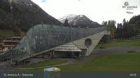
 St. Anton am Arlberg: Arlberg - Skicenter
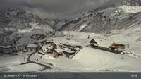
 Gemeinde Sankt Anton am Arlberg: St. Anton am Arlberg, Arlberg - St. Christoph
 Gemeinde Sankt Anton am Arlberg › South: Kapall Restaurant
 Gemeinde Lech
 Gemeinde Lech: Zürs am Arlberg, Arlberg - Trittkopf
 Gemeinde Lech: Flexenbahn, Bergstation / Trittkopfbahn, Mittelstation
 Gemeinde Lech: Trittalp Sesselbahn, Bergstation - Trittalpe
 Gemeinde Lech
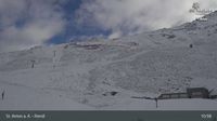
 St. Anton am Arlberg: Arlberg - Rendl
| today | tomorrow | day after tomorrow | |
|---|---|---|---|
| Dawn: | 7:17 | 7:19 | 6:20 |
| Sunrise: | 7:48 | 7:50 | 6:51 |
| Sunset: | 18:17 | 18:16 | 17:14 |
| Dusk: | 18:49 | 18:47 | 17:45 |
