

Hiking, 11 km
10.8.2021
 Rakousko
Logged on Vrcholovka 1x in total. Vrchol Grosser Leppleskofel was added here by Milan "Hojší" Průžek and info was completed by Martin Matějka.
A nice and not too long tour, thanks to the use of a cable car, comfortable even for less fit individuals and children, with a beautiful lake at the foot of a stunning panoramic mountain.
From St. Jakob im Defereggental, take the cable car to the mountain station Mooserberg/Jausenstation MooserAlm (2,368 m), where the summit parts of Grosser Leppleskofel already rise. There, we follow the well-marked path first to the Ochsenlacke lake (to the left is Kleine Leppeskofel (2,469 m)) and then to the T-bar cable car mountain station. Continue across the ridge foothills to the saddle (2,610 m) where the ascent becomes slightly more challenging, leading over steps and some rocky climbs, which, however, are not much of an obstacle for someone who is at least somewhat accustomed to moving in mountain terrain, and the ascent, which is still quite easy, can be managed by moderately fit children. The path leads us in switchbacks up the slope to the summit ridge, where we can already enjoy beautiful views. Effortlessly, it continues to the summit cross of Großer Leppleskofel (2,811 m). The view of the surrounding mountains is stunning. From here, you can see the highest peaks of the Rieserferner and Venediger groups, as well as the Hochschober and Glockner groups in a magnificent panoramic view.
The route from the cable car to the summit and back is about 4 km long with an elevation gain of 440 m and takes approximately 3 hours. At the beginning of summer, it is very enriching due to the blooming flowers.
3D route preview from the valley to the summit
... and another 3D preview from the cable car over the summit back to the valley.
There is no chalet on the peak.
Peak is not stroller accessible.
There are views from the peak.
...does not lead directly to the summit, but to the foothills, which significantly eases the ascent and makes it a beautiful easy afternoon walk.
No special equipment is required for this summit.
Peak is freely accessible.
Nearest peaks: Kleiner Leppleskofel (2469 m, 1.1 km) Great Sword Horn (2946 m, 1.9 km) Small Sword Horn (2849 m, 2.3 km) Weisse Spitze (2962 m, 2.3 km)
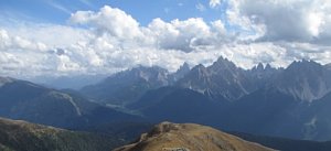 Adlerweg - Orlí stezka napříč Tyrolskem
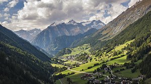 Karnská hřebenová stezka (Karnischer Höhenweg)
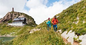 Výstup na Schusterplatte
 Letní výstup na Westliche Simonyspitze přes Umbalkees
Výstup na vrchol Weisspitze
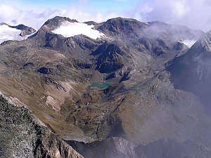
 Sankt Jakob in Defereggen: Langschneid
 Sankt Jakob in Defereggen: Ski Center St. Jakob
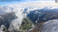
 St. Jakob: in Defereggen - Blick nach Osten
 Sankt Veit in Defereggen: Defereggental Hotel & Resort
 Gemeinde Innervillgraten › South-east: Kreuzspitze - Villgratental
| today | tomorrow | day after tomorrow | |
|---|---|---|---|
| Dawn: | 6:26 | 6:28 | 6:29 |
| Sunrise: | 6:58 | 7:00 | 7:01 |
| Sunset: | 16:49 | 16:47 | 16:46 |
| Dusk: | 17:21 | 17:20 | 17:18 |