






Hiking, 14 km
13.8.2021
 Itálie
 Rakousko
Logged on Vrcholovka 1x in total. Vrchol Deferegger Pfannhorn was added here by Milan "Hojší" Průžek and info was completed by Martin Matějka.
Deferegger Pfannhorn is a popular border peak in the western part of the Villgratner mountain range, southwest of Maria Hilf.
One of the most beautiful viewpoint peaks in the Villgraten range with stunning panoramic views. The glaciated mountains of the Hohe Tauern are particularly visible, as well as the rugged peaks of the Dolomites. ... Rötspitze, Großvenediger, Großglockner, Hochschober, South Tyrolean Dolomites, ... It also offers a beautiful deep view of Gsiesertal and Defereggental.
The marked trail allows for an ascent towards Staller Sattel, which neutralizes several hundred meters of elevation difference, and the breathtaking view makes this beautiful mountain a valuable half-day destination. The ascent to the summit via the shortest marked route and the return leads through relatively easy terrain with sufficient markings, although on less distinct paths. The straightforward section ends at a rocky step, from where there remains 160m of climbing, requiring occasional hand support. The last section of the ascent is somewhat more challenging due to unstable scree.
The neighboring peak Kärlskopf is much less accessible, even though it is actually the highest point of the long main ridge between Rote Spitze and the 35 km distant spur above the South Tyrolean Pustertal. The connecting ridge has only a few climbing sections of the first grade, and the descent on the northwestern ridge is harmless in itself. Only the last section down the "pan" requires some determination - the pathless, knee-deep bushes of alpine roses with well-hidden holes are not for everyone.
Photos
Northeast Ridge (UIAA 2-) is an interesting alternative to the marked normal route. The one-kilometer ascent is a picturesque hike with beautiful views. The climb is much easier than it might seem from a distance on the rugged ridge. If you stay directly on the ridge, the rock is usually good.
Ascent via the normal route - preview
There is no chalet on the peak.
Peak is not stroller accessible.
There are views from the peak.
There is no cable car to this peak.
No special equipment is required for this summit.
Peak is freely accessible.
Nearest peaks: Hirschbichl (2141 m, 2.1 km)
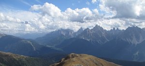 Adlerweg - Orlí stezka napříč Tyrolskem
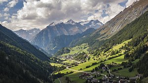 Letní výstup na Westliche Simonyspitze přes Umbalkees
 Výstup na Schusterplatte
Typický zástupce ledovcové túry - Dreiherrenspitze
Karnská hřebenová stezka (Karnischer Höhenweg)
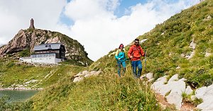 Výstup na vrchol Weisspitze
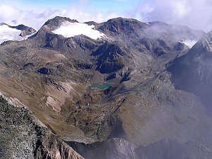 Alta Via 1: přechod přes Dolomity
| today | tomorrow | day after tomorrow | |
|---|---|---|---|
| Dawn: | 6:16 | 6:17 | 6:19 |
| Sunrise: | 6:47 | 6:49 | 6:50 |
| Sunset: | 17:02 | 17:00 | 16:58 |
| Dusk: | 17:33 | 17:31 | 17:30 |
