



Via ferrata
so, 21.6.2025, 12:19
 Rakousko
 Švýcarsko
Logged on Vrcholovka 1x in total. Vrchol Schesaplana was added here by Milan "Hojší" Průžek and info was completed by Jiří Králík.
Schesaplana is part of challenge: Austrian Alps
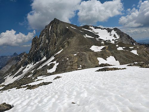
The highest peak of the Rätikon mountain range on the Austrian-Swiss border. The Austrian part lies in the federal state of Vorarlberg, while the Swiss part is in the canton of Graubünden. The Brandner Glacier extends across the northwestern slopes.
The first to reach the summit were Christa Barball, Claus Manall, and David Pappus on August 24, 1610.
The summit can be accessed via marked hiking trails, for example from the Totalphütte (2381 m a.s.l.) or from the Schesaplanahütte (1908 m a.s.l.).
There is no chalet on the peak.
Peak is not stroller accessible.
There are views from the peak.
There is no cable car to this peak.
No special equipment is required for this summit.
Peak is freely accessible.
Nearest peaks: Schafhügel (2754 m, 0.8 km) Schafköpfe (2808 m, 1.2 km) Schafköpfe Z (2806 m, 1.5 km) Wildberg (2788 m, 1.6 km) Schafhorn (2794 m, 1.8 km) Panüelerkopf (2860 m, 2.5 km)
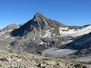 Vyhlídková túra v pohoří Rätikon s výstupem na vrchol Zimba
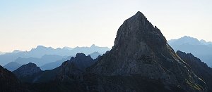 Liechtensteiner Höhenweg: zajištěná vysokohorská túra v pohoří Rätikon
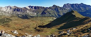
 Brand
 Gemeinde Vandans: Lünersee
 Gemeinde Brand: Brandnertal - Palüd
 Triesenberg › East: Nenzinger Himmel
 Marktgemeinde Nenzing › East
 Brand: Glattjoch - Brandnertal
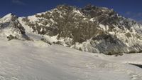 Grusch › South-West: Bergrestaurant Sassauna - Fanas, Seilbahn - Seilbahn Fanas

| today | tomorrow | day after tomorrow | |
|---|---|---|---|
| Dawn: | 6:25 | 6:26 | 6:28 |
| Sunrise: | 6:56 | 6:58 | 6:59 |
| Sunset: | 17:13 | 17:11 | 17:10 |
| Dusk: | 17:44 | 17:43 | 17:41 |