Hiking, 34 km
12.7.2026
 Česko
 Rakousko
Prachatice (Jihočeský kraj)
Logged on Vrcholovka 67x in total. Peak information here was completed by Michal Kříž a Bouřka.
Hraničník is part of challenges: Šumavské tisícovky, The Highest Peaks of South Bohemia, Thousanders of the Czech Republic
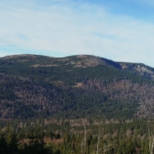
German Reischelberg. A dome-shaped peak located 5.5 km southwest of Nová Pec, on the border with Austria. An asymmetrical ridge in the shape of an elongated dome. From the Austrian side, a ski lift and two downhill slopes lead to the summit. From the Czech side, the I. zone of the national park with preserved spruce forests. (tisicovky.cz)
There is no chalet on the peak.
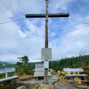
But only from the Austrian side (a path leads to the upper station of the cable car), to the actual summit then about 100 m along the hiking trail ....
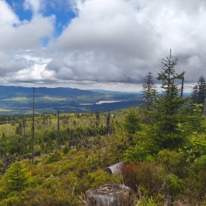
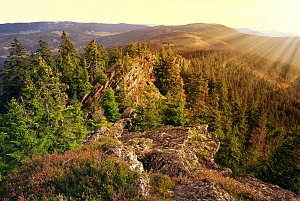
There are views from the peak.
cable car in operation only during the winter ski season .....
No special equipment is required for this summit.
Peak is freely accessible.
Nearest peaks: Studničná (1160 m, 0.9 km) Schönbergfelsen (1305 m, 1.2 km) Smrčina S (1304 m, 1.6 km) Stinglfelsen (1260 m, 1.8 km) Smrčina/Hochficht (1338 m, 1.9 km) Kaltebenfelsen (1146 m, 2.3 km) Nad Rakouskou cestou (1054 m, 2.5 km) Fleischhackerberg (1222 m, 2.9 km) Nad Rossbachem JZ (913 m, 3.3 km)
 Přechod NP Šumava
 Klaffer am Hochficht: Hochficht Böhmerwald - Reischlberg Mittelstation
 Klaffer am Hochficht: Hochficht Böhmerwald - Reischlberg Mittelstation
 Klaffer am Hochficht: Hochficht Böhmerwald - Skiarena Hochficht
 Klaffer am Hochficht: Hochficht Böhmerwald - Hochficht Bergstation
 Schwarzenberg am Bohmerwald: Schwarzenbergbahn Talstation
 Nová Pec › North-East
 Ulrichsberg: Schöneben - Nordisches Zentrum Böhmerwald
 Ulrichsberg: Schöneben - Nordisches Zentrum Böhmerwald
 Ulrichsberg: Schöneben - Nordisches Zentrum Böhmerwald
 Ulrichsberg: Schöneben - Nordisches Zentrum Böhmerwald

| today | tomorrow | day after tomorrow | |
|---|---|---|---|
| Dawn: | 7:04 | 7:06 | 6:07 |
| Sunrise: | 7:36 | 7:38 | 6:40 |
| Sunset: | 18:00 | 17:58 | 16:56 |
| Dusk: | 18:32 | 18:30 | 17:29 |