Jelenia Góra Basin
Jelenia Góra Basin (Polish: Kotlina Jeleniogórska) is a basin in southwestern Poland, north of the Krkonoše Mountains, around the town of Jelenia Góra. The original vegetation was transformed by agricultural activity, only small forests in river valleys and on hills have been preserved. The highest hill is the rocky Krzyżna Góra (653 m), which belongs to the Janovické Rudohoří Protected Landscape Area, but according to Jerzy Kondracký's classification it is located in the Jelenia Góra Basin.
| Highest peak | Krzyżna Gora (653 m a.s.l.) |
|---|---|
| Most prominent peak | Krzyżna Gora (653 m a.s.l., prominence 179 m) |
| Parent unit | Krkonošská oblast |
| Main peaks | Total 4 |
| Most popular peaks | Sokolik (643 m a.s.l.), Krzyżna Gora (653 m a.s.l.), Grodna (504 m a.s.l.), Husic Rocks (565 m a.s.l.), Witosza (483 m a.s.l.) |

| Name | Elevation | ||||
|---|---|---|---|---|---|

|
Krzyżna Gora | 653 m a.s.l. | Jelenia Góra Basin | 179 m | hlavní vrchol |

|
Sokolik | 643 m a.s.l. | Jelenia Góra Basin | 117 m | hlavní vrchol |

|
Husic Rocks | 565 m a.s.l. | Jelenia Góra Basin | 12 m | vedlejší vrchol |

|
Grodna | 504 m a.s.l. | Jelenia Góra Basin | 85 m | hlavní vrchol |
|
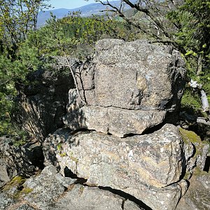
Witosza | 483 m a.s.l. | Jelenia Góra Basin | 68 m | hlavní vrchol |

|
Sośnia | 420 m a.s.l. | Jelenia Góra Basin | 8 m | vedlejší vrchol |