Visočica
| Highest peak | Džamija (1967 m a.s.l.) |
|---|---|
| Most prominent peak | Džamija (1967 m a.s.l., prominence 572 m) |
| Parent unit | Central Dinarides |
| Main peaks | Total 11 |
| Most popular peaks | Vito (1960 m a.s.l.), Malo Brdo (1848 m a.s.l.), Veliko Brdo (1884 m a.s.l.), Džamija (1967 m a.s.l.), Parič (1941 m a.s.l.) |

| Name | Elevation | ||||
|---|---|---|---|---|---|

|
Džamija | 1967 m a.s.l. | Visočica | 572 m | hlavní vrchol |

|
Veliki Ljeljen | 1963 m a.s.l. | Visočica | 94 m | hlavní vrchol |
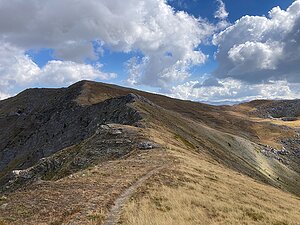
|
Vito | 1960 m a.s.l. | Visočica | 275 m | hlavní vrchol |
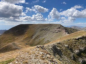
|
Parič | 1941 m a.s.l. | Visočica | 76 m | hlavní vrchol |

|
Spijonik | 1920 m a.s.l. | Visočica | 41 m | hlavní vrchol |
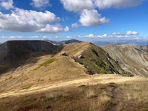
|
Delelaš | 1917 m a.s.l. | Visočica | 49 m | hlavní vrchol |

|
Veliko Brdo | 1884 m a.s.l. | Visočica | 60 m | hlavní vrchol |

|
Malo Brdo | 1848 m a.s.l. | Visočica | 47 m | hlavní vrchol |
|
|
Baturak | 1796 m a.s.l. | Visočica | 175 m | hlavní vrchol |

|
Glatko | 1791 m a.s.l. | Visočica | 99 m | hlavní vrchol |
|
|
Crveni kuk | 1733 m a.s.l. | Visočica | 98 m | hlavní vrchol |