Kastilské pohoří
| Highest peak | Pico Almanzor (2592 m a.s.l.) |
|---|---|
| Most prominent peak | Pico Almanzor (2592 m a.s.l., prominence 1690 m) |
| Parent unit | Pyrenean System |
| Sub-units |
La Serrota Serra da Arada Serra da Estrela Serra da Gardunha Serra de Montemuro Serra do Caramulo Sierra de Ayllón Sierra de Béjar Sierra de Gata Sierra de Gredos Sierra de Guadarrama |
| Main peaks | Total 15 |
| Most popular peaks | Torre (1993 m a.s.l.), Corgo das Mós (1553 m a.s.l.), Caramulo (1075 m a.s.l.), Chãs (1119 m a.s.l.), Pico del Lobo (2274 m a.s.l.) |
| Mountain range challenges | Highest Geographical Points of Europe, Highest Mountains of European Countries, Ultraprominent Europe |

| Name | Elevation | ||||
|---|---|---|---|---|---|

|
Pico Almanzor | 2592 m a.s.l. | Sierra de Gredos | 1690 m | hlavní vrchol |

|
Peñalara | 2428 m a.s.l. | Sierra de Guadarrama | 1113 m | hlavní vrchol |

|
Canchal de la Ceja | 2427 m a.s.l. | Sierra de Béjar | 1151 m | hlavní vrchol |
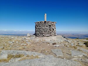
|
Serrota | 2292 m a.s.l. | La Serrota | 735 m | hlavní vrchol |

|
Pico del Lobo | 2274 m a.s.l. | Sierra de Ayllón | 834 m | hlavní vrchol |
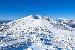
|
Cerro del Cabezo | 2191 m a.s.l. | Sierra de Gredos | 800 m | hlavní vrchol |

|
Torre | 1993 m a.s.l. | Serra da Estrela | 1204 m | hlavní vrchol |
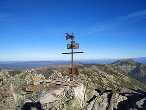
|
La Hastiala | 1735 m a.s.l. | Sierra de Gata | 826 m | hlavní vrchol |

|
Corgo das Mós | 1553 m a.s.l. | Serra da Estrela | 75 m | hlavní vrchol |
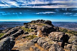
|
Jálama | 1492 m a.s.l. | Sierra de Gata | 603 m | hlavní vrchol |
|
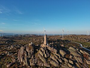
Montemuro | 1381 m a.s.l. | Serra de Montemuro | 839 m | hlavní vrchol |
|
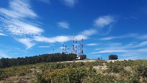
Cruces | 1373 m a.s.l. | Sierra de Gredos | 643 m | hlavní vrchol |
|
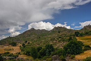
Gardunha | 1227 m a.s.l. | Serra da Gardunha | 765 m | hlavní vrchol |

|
Chãs | 1119 m a.s.l. | Serra da Arada | 598 m | hlavní vrchol |

|
Caramulo | 1075 m a.s.l. | Serra do Caramulo | 580 m | hlavní vrchol |