Východoslovenská rovina
| Highest peak | Tarbucka (278 m a.s.l.) |
|---|---|
| Most prominent peak | Tarbucka (278 m a.s.l., prominence 181 m) |
| Parent unit | Eastern Slovak Lowland |
| Main peaks | Total 7 |
| Most popular peaks | Hrádok (163 m a.s.l.), Tarbucka (278 m a.s.l.), Lowest Point of Slovakia (94 m a.s.l.), Zemplínsky hradný vrch (120 m a.s.l.), Veľký Kamenec (135 m a.s.l.) |
| Mountain range challenges | Highest Points of Geomorphological Units of Slovakia |

| Name | Elevation | ||||
|---|---|---|---|---|---|
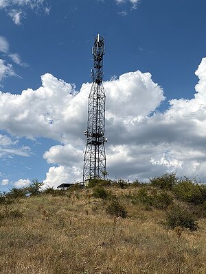
|
Tarbucka | 278 m a.s.l. | Východoslovenská rovina | 181 m | hlavní vrchol |
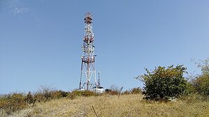
|
Veľký vrch | 272 m a.s.l. | Východoslovenská rovina | 154 m | hlavní vrchol |
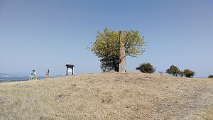
|
Veľký kopec | 264 m a.s.l. | Východoslovenská rovina | 164 m | hlavní vrchol |
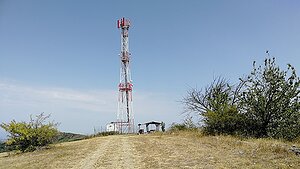
|
Avaš J | 239 m a.s.l. | Východoslovenská rovina | 115 m | hlavní vrchol |

|
Malý vrch | 226 m a.s.l. | Východoslovenská rovina | 49 m | hlavní vrchol |

|
Hrádok | 163 m a.s.l. | Východoslovenská rovina | 49 m | hlavní vrchol |
|
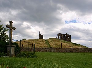
Veľký Kamenec | 135 m a.s.l. | Východoslovenská rovina | 29 m | hlavní vrchol |
|
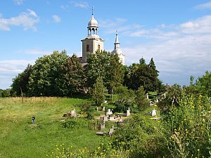
Zemplínsky hradný vrch | 120 m a.s.l. | Východoslovenská rovina | 12 m | vedlejší vrchol |

|
Majstrovský | 100 m a.s.l. | Východoslovenská rovina | 5 m | vedlejší vrchol |

|
Lowest Point of Slovakia | 94 m a.s.l. | Východoslovenská rovina | významný bod |