West Lusatian Uplands
The West Lusatian Hills and Uplands (German: Westlausitzer Hügel- und Bergland) is a mountain range in southeastern Germany, east of Dresden. It is the westernmost part of the Krkonoše region and the entire Sudetenland. The highest peak is the Hochstein (449 m).
| Highest peak | Hochstein (449 m a.s.l.) |
|---|---|
| Most prominent peak | Hochstein (449 m a.s.l., prominence 152 m) |
| Parent unit | Krkonošská oblast |
| Main peaks | Total 4 |
| Most popular peaks | High Castle (192 m a.s.l.), Götzingerhöhe (424 m a.s.l.), Adamsberg (302 m a.s.l.), Endlerkuppe (367 m a.s.l.), Pinsenberg (262 m a.s.l.) |

| Name | Elevation | ||||
|---|---|---|---|---|---|
|
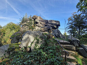
Hochstein | 449 m a.s.l. | West Lusatian Uplands | 152 m | hlavní vrchol |

|
Götzingerhöhe | 424 m a.s.l. | West Lusatian Uplands | 13 m | vedlejší vrchol |

|
Endlerkuppe | 367 m a.s.l. | West Lusatian Uplands | 44 m | hlavní vrchol |
|
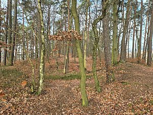
Adamsberg | 302 m a.s.l. | West Lusatian Uplands | 22 m | hlavní vrchol |
|
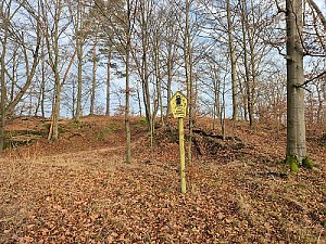
Pinsenberg | 262 m a.s.l. | West Lusatian Uplands | 22 m | hlavní vrchol |

|
High Castle | 192 m a.s.l. | West Lusatian Uplands | 11 m | vedlejší vrchol |