Gökçeada
| Highest peak | Doruk Tepe (673 m a.s.l.) |
|---|---|
| Most prominent peak | Doruk Tepe (673 m a.s.l., prominence 673 m) |
| Parent unit | Northern Aegean Islands |
| Main peaks | Total 6 |
| Most popular peaks | Kaleköy (88 m a.s.l.), Ulukaya Tepesi (652 m a.s.l.), Gözetme Tepesi J (430 m a.s.l.), Doruk Tepe (673 m a.s.l.), Baraj Gölü (104 m a.s.l.) |

| Name | Elevation | ||||
|---|---|---|---|---|---|
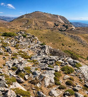
|
Doruk Tepe | 673 m a.s.l. | Gökçeada | 673 m | hlavní vrchol |
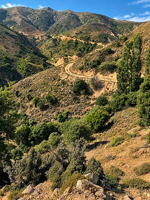
|
Ulukaya Tepesi | 652 m a.s.l. | Gökçeada | 111 m | hlavní vrchol |
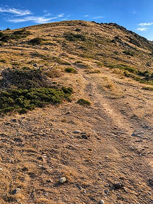
|
Delik Tepe | 625 m a.s.l. | Gökçeada | 31 m | hlavní vrchol |
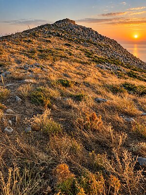
|
Gözetme Tepesi | 435 m a.s.l. | Gökçeada | 335 m | hlavní vrchol |
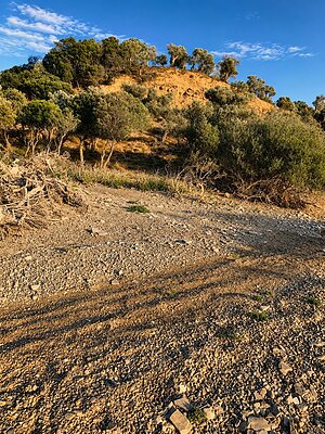
|
Baraj Gölü | 104 m a.s.l. | Gökçeada | 20 m | hlavní vrchol |
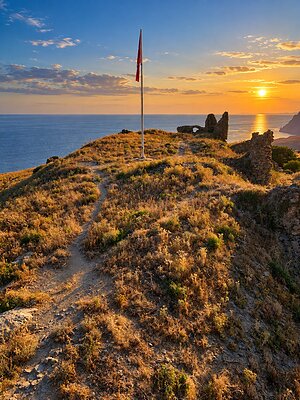
|
Kaleköy | 88 m a.s.l. | Gökçeada | 69 m | hlavní vrchol |