Transylvanian Plateau
Transylvanian Plateau is a low hill country in the middle of Romanian Transylvania (Siebenbürgen), surrounded by much higher Carpathian mountain ranges (Romanian Western, Southern, and Eastern Carpathians). In most areas, it does not exceed an altitude of 500 m, but in the north and east, it rises and gradually transitions into the Eastern Carpathians. The highest peak is probably Muntele Firtuș (1060 m) on the eastern side of the plateau.
| Highest peak | Muntele Firtuș (1060 m a.s.l.) |
|---|---|
| Most prominent peak | Muntele Firtuș (1060 m a.s.l., prominence 208 m) |
| Parent unit | Carpathians |
| Main peaks | Total 2 |
| Most popular peaks | Schulberg (429 m a.s.l.), Muntele Firtuș (1060 m a.s.l.) |

| Name | Elevation | ||||
|---|---|---|---|---|---|
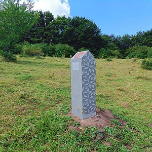
|
Muntele Firtuș | 1060 m a.s.l. | Transylvanian Plateau | 208 m | hlavní vrchol |

|
Schulberg | 429 m a.s.l. | Transylvanian Plateau | 65 m | hlavní vrchol |