Sierra de Aitana
| Highest peak | Aitana (1559 m a.s.l.) |
|---|---|
| Most prominent peak | Aitana (1559 m a.s.l., prominence 946 m) |
| Parent unit | Pre-Betic Zone |
| Main peaks | Total 7 |
| Most popular peaks | Alt de Petillo (675 m a.s.l.), Aitana Oriental (1549 m a.s.l.), Torre del Aguiló (147 m a.s.l.), Puig Campana (1408 m a.s.l.), Alt de Tagarina (1434 m a.s.l.) |

| Name | Elevation | ||||
|---|---|---|---|---|---|
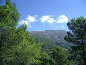
|
Aitana | 1559 m a.s.l. | Sierra de Aitana | 946 m | hlavní vrchol |
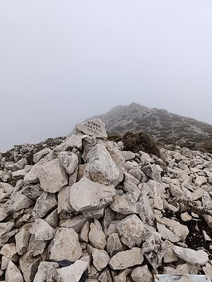
|
Aitana Oriental | 1549 m a.s.l. | Sierra de Aitana | 10 m | vedlejší vrchol |
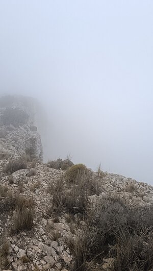
|
Penya Alta | 1504 m a.s.l. | Sierra de Aitana | 43 m | hlavní vrchol |

|
Alt de Tagarina | 1434 m a.s.l. | Sierra de Aitana | 14 m | vedlejší vrchol |
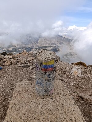
|
Puig Campana | 1408 m a.s.l. | Sierra de Aitana | 522 m | hlavní vrchol |
|
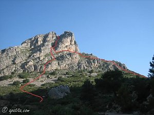
Penyó Roc | 1108 m a.s.l. | Sierra de Aitana | 129 m | hlavní vrchol |
|
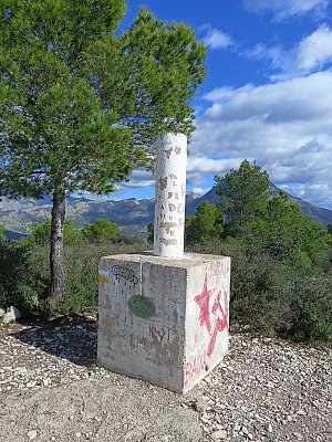
Alt de Petillo | 675 m a.s.l. | Sierra de Aitana | 416 m | hlavní vrchol |
|
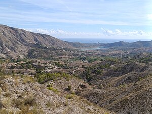
la Travessa | 487 m a.s.l. | Sierra de Aitana | 132 m | hlavní vrchol |

|
Torre del Aguiló | 147 m a.s.l. | Sierra de Aitana | 57 m | hlavní vrchol |