Western Pyrenees
| Highest peak | Collarada (2883 m a.s.l.) |
|---|---|
| Most prominent peak | Bisaurín (2670 m a.s.l., prominence 1040 m) |
| Parent unit | Pyrenees |
| Main peaks | Total 17 |
| Most popular peaks | Pic d'Orhy (2017 m a.s.l.), Pic d'Anie (2504 m a.s.l.), El Sombrero (2562 m a.s.l.), Mesa de los Tres Reyes (2446 m a.s.l.), Peña Ezcaurre (2045 m a.s.l.) |

| Name | Elevation | ||||
|---|---|---|---|---|---|
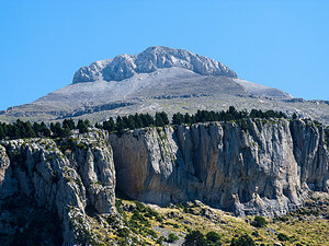
|
Collarada | 2883 m a.s.l. | Western Pyrenees | 800 m | hlavní vrchol |
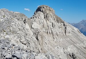
|
Peña Retona | 2767 m a.s.l. | Western Pyrenees | 625 m | hlavní vrchol |

|
Bisaurín | 2670 m a.s.l. | Western Pyrenees | 1040 m | hlavní vrchol |

|
Pico de Aspe | 2640 m a.s.l. | Western Pyrenees | 524 m | hlavní vrchol |

|
Pico Llena de la Garganta | 2599 m a.s.l. | Western Pyrenees | 172 m | hlavní vrchol |

|
Pico de la Garganta de Borau | 2570 m a.s.l. | Western Pyrenees | 237 m | hlavní vrchol |

|
Pico Llena del Bozo | 2566 m a.s.l. | Western Pyrenees | 240 m | hlavní vrchol |

|
El Sombrero | 2562 m a.s.l. | Western Pyrenees | 45 m | hlavní vrchol |
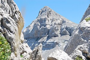
|
Pic d'Anie | 2504 m a.s.l. | Western Pyrenees | 841 m | hlavní vrchol |

|
Pico de la Garganta de Aisa | 2504 m a.s.l. | Western Pyrenees | 45 m | hlavní vrchol |

|
Mesa de los Tres Reyes | 2446 m a.s.l. | Western Pyrenees | 406 m | hlavní vrchol |
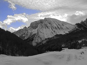
|
Peña Ezcaurre | 2045 m a.s.l. | Western Pyrenees | 750 m | hlavní vrchol |
|
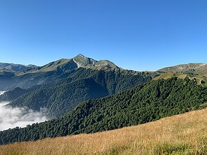
Pic d'Orhy | 2017 m a.s.l. | Western Pyrenees | 601 m | hlavní vrchol |

|
Le Layens | 1625 m a.s.l. | Western Pyrenees | 617 m | hlavní vrchol |
|
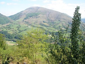
Hautza | 1304 m a.s.l. | Western Pyrenees | 616 m | hlavní vrchol |
|
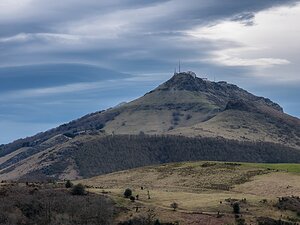
La Rhune / Larrún | 905 m a.s.l. | Western Pyrenees | 683 m | hlavní vrchol |
|
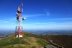
Mont Baïgura | 897 m a.s.l. | Western Pyrenees | 680 m | hlavní vrchol |