Ćićarija
| Highest peak | Veliki Planik (1272 m a.s.l.) |
|---|---|
| Most prominent peak | Veliki Planik (1272 m a.s.l., prominence 336 m) |
| Parent unit | Coastal Dinarides |
| Main peaks | Total 6 |
| Most popular peaks | Gomila (1027 m a.s.l.), Žbevnica (1014 m a.s.l.), Marecića (790 m a.s.l.), Lobardina (888 m a.s.l.), Orljak (1106 m a.s.l.) |

| Name | Elevation | ||||
|---|---|---|---|---|---|

|
Veliki Planik | 1272 m a.s.l. | Ćićarija | 336 m | hlavní vrchol |
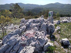
|
Orljak | 1106 m a.s.l. | Ćićarija | 162 m | hlavní vrchol |
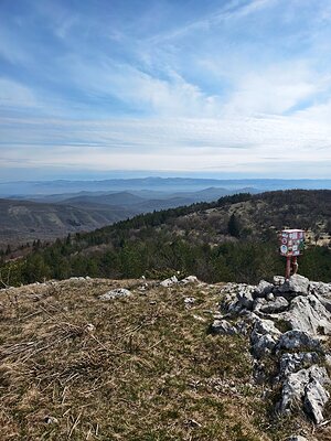
|
Gomila | 1027 m a.s.l. | Ćićarija | 44 m | hlavní vrchol |
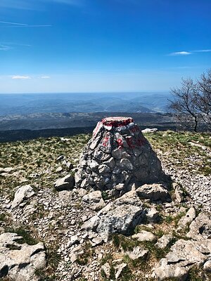
|
Žbevnica | 1014 m a.s.l. | Ćićarija | 317 m | hlavní vrchol |

|
Lobardina | 888 m a.s.l. | Ćićarija | 18 m | hlavní vrchol |

|
Marecića | 790 m a.s.l. | Ćićarija | 47 m | hlavní vrchol |

|
Vrtelk | 767 m a.s.l. | Ćićarija | 14 m | vedlejší vrchol |