Beaufortain
| Highest peak | Roignais (2995 m a.s.l.) |
|---|---|
| Most prominent peak | Roignais (2995 m a.s.l., prominence 1028 m) |
| Parent unit | Savoy Alps |
| Main peaks | Total 8 |
| Most popular peaks | Tête Nord des Fours (2756 m a.s.l.), Croix du Christ (1940 m a.s.l.), Mont Joux (1960 m a.s.l.), Mont d'Arbois (1839 m a.s.l.), Rochebrune (1754 m a.s.l.) |

| Name | Elevation | ||||
|---|---|---|---|---|---|

|
Roignais | 2995 m a.s.l. | Beaufortain | 1028 m | hlavní vrchol |

|
Aiguille du Grand Fond | 2920 m a.s.l. | Beaufortain | 296 m | hlavní vrchol |

|
Pointe Terrasse | 2881 m a.s.l. | Beaufortain | 417 m | hlavní vrchol |

|
Tête Nord des Fours | 2756 m a.s.l. | Beaufortain | 109 m | hlavní vrchol |

|
Rocher du Vent | 2360 m a.s.l. | Beaufortain | 60 m | hlavní vrchol |

|
Mont Joux | 1960 m a.s.l. | Beaufortain | 70 m | hlavní vrchol |

|
Croix du Christ | 1940 m a.s.l. | Beaufortain | 21 m | hlavní vrchol |
|
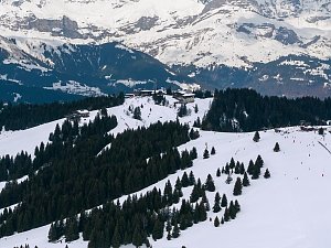
Mont d'Arbois | 1839 m a.s.l. | Beaufortain | 51 m | hlavní vrchol |
|
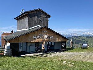
Rochebrune | 1754 m a.s.l. | Beaufortain | 5 m | vedlejší vrchol |