Stugarë
| Highest peak | Mourgana (1806 m a.s.l.) |
|---|---|
| Most prominent peak | Mourgana (1806 m a.s.l., prominence 1247 m) |
| Parent unit | Šarský horský systém |
| Main peaks | Total 6 |
| Most popular peaks | Butrintit Anësore (52 m a.s.l.), Butrint hill (45 m a.s.l.), Maja Topçiut (854 m a.s.l.), Ishulli Tetranisit (18 m a.s.l.), Maja Mesenje (403 m a.s.l.) |

| Name | Elevation | ||||
|---|---|---|---|---|---|

|
Mourgana | 1806 m a.s.l. | Stugarë | 1247 m | hlavní vrchol |
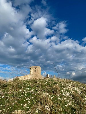
|
Maja Topçiut | 854 m a.s.l. | Stugarë | 220 m | hlavní vrchol |

|
Maja e Milesë | 823 m a.s.l. | Stugarë | 773 m | hlavní vrchol |
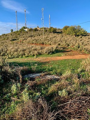
|
Kodra Bajames | 143 m a.s.l. | Stugarë | 118 m | hlavní vrchol |
|
Butrintit Anësore | 52 m a.s.l. | Stugarë | 5 m | vedlejší vrchol |

|
Butrint hill | 45 m a.s.l. | Stugarë | 40 m | hlavní vrchol |
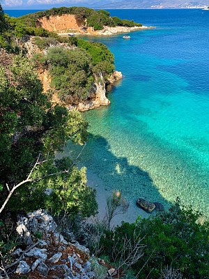
|
Ishulli Tetranisit | 18 m a.s.l. | Stugarë | 18 m | hlavní vrchol |