Král Ammergauských Alp Král Ammergauských Alp

participants
2
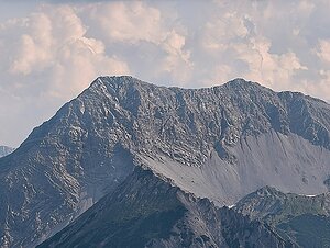
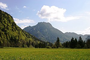
The Ammergau Alps stretch across northern Tyrol and southern Bavaria, forming one of the westernmost ranges of the Northern Limestone Alps. They are characterized by a diverse landscape of limestone massifs, grassy ridges, deep valleys, and extensive forests. The highest peak of the range is Daniel (2,340 m with a prominence of 1,234 m), which, along with the surrounding peaks, creates a striking landmark above the Lech Valley.

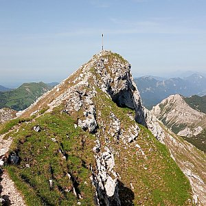
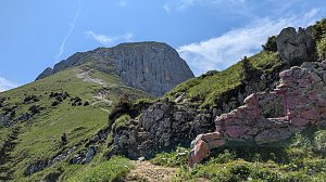
The range offers a wide variety of ascents, from easy hiking trails to more challenging ridge hikes and via ferratas. Due to its location, the peaks provide stunning views of the Lechtal Alps, Wetterstein, Karwendel, and the Bavarian Alps, and many spots maintain a quieter atmosphere than the more famous neighboring ranges.

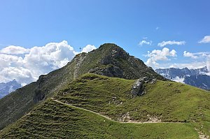
The King of the Ammergau Alps challenge will take you to the most significant peaks of the various parts of the range. You can expect diverse ascents, panoramic ridges, limestone summits, and more remote mountain paths that showcase the best of the Ammergau Alps.

Peak characteristics in the challenge:

minimum elevation of 1,500 m,
minimum prominence of 350 m,
a hiking trail, unmarked path, or via ferrata leads to the summit,
summit ascent is not prohibited.
Daniel
2340 m n.m.
1230 m
Geierköpfe
2161 m n.m.
495 m
Hochplatte
2082 m n.m.
968 m
Säuling
2047 m n.m.
696 m
Kramerspitz
1985 m n.m.
775 m
Kienjoch
1953 m n.m.
409 m
Hirschbichel
1935 m n.m.
352 m
Große Klammspitze
1924 m n.m.
389 m
Kreuzkopf
1909 m n.m.
478 m
Laber
1686 m n.m.
813 m
Hohe Bleick
1638 m n.m.
554 m
Hinteres Hörnle
1548 m n.m.
381 m
Share