Korona Beskidu Myślenickiego Korona Beskidu Myślenickiego
participants
4
Similar to the challenge Korona Beskidu Wyspowego, I have once again simply copied the mountains from the PTTK list "http://www.msw-pttk.org.pl/odznaki/reg_odznak/reg_rotkbm.html".
Otherwise, Beskid Myślenicki is not a geomorphological unit, but it appears in hiking literature, and the boundaries were established by Mieczysław Orłowicz in 1938. To the west, it borders the Little Beskids, which have this challenge: https://www.vrcholovka.cz/vyzva/nejhory-malych-beskyd/, and to the east, it borders Beskid Wyspowy, with which it overlaps. To the south lies Beskid Żywiecki. And a note for trekkers: The long-distance trail Mały Szlak Beskidzki runs through Beskid Mały, Beskid Myślenicki, and Beskid Wyspowy, which is about 135 km long and runs from Stracionka in Bielsko to Luboń Wielki. However, I personally recommend choosing the opposite direction.
Babica
728 m n.m.
130 m
Barnasiówka
566 m n.m.
139 m
Bryndzówka
703 m n.m.
55 m
Chełm
603 m n.m.
131 m
Chełm
614 m n.m.
14 m
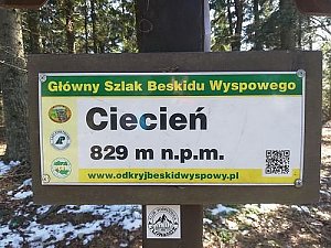
Ciecień
830 m n.m.
326 m
Cyrla
666 m n.m.
38 m
Dalin
506 m n.m.
23 m
Dziadkówka
471 m n.m.
30 m
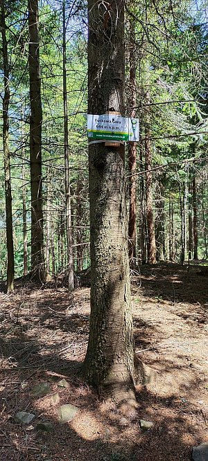
Fuckowa Góra
644 m n.m.
77 m
Glichowiec
523 m n.m.
111 m
Grodzisko
618 m n.m.
136 m
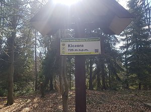
Kiczora
725 m n.m.
149 m
Kiecka
631 m n.m.
51 m
Koskowa Góra
867 m n.m.
318 m
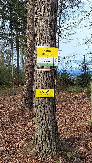
Kotoń
857 m n.m.
260 m
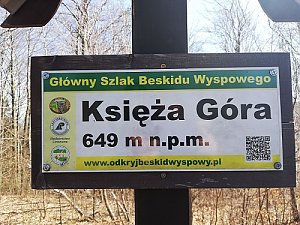
Księża Góra
649 m n.m.
51 m
Las Groby
557 m n.m.
75 m
Lubogoszcz
968 m n.m.
425 m
Lubomir
904 m n.m.
349 m
Luboń Wielki
1022 m n.m.
515 m
Sularzówka
617 m n.m.
90 m
Styrek
366 m n.m.
26 m
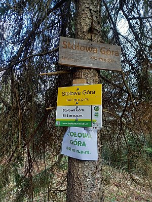
Stołowa Góra
841 m n.m.
202 m
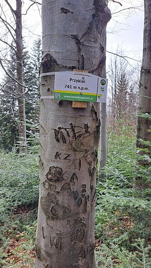
Przykiec
741 m n.m.
109 m
Parszywka
842 m n.m.
46 m
Ostrysz
701 m n.m.
23 m
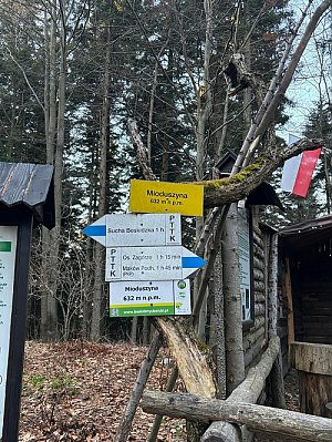
Mioduszyna
632 m n.m.
134 m
Szczebel
976 m n.m.
344 m
Uklejna
680 m n.m.
122 m
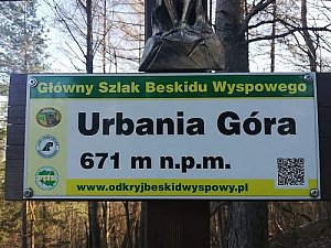
Urbania Góra
673 m n.m.
44 m
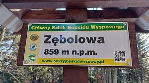
Zębolowa
858 m n.m.
285 m
Łysina
891 m n.m.
17 m
Śliwnik
619 m n.m.
56 m
Tuszyna
427 m n.m.
96 m
Żar
527 m n.m.
18 m
Share