
Hiking, 26 km
22.8.2026
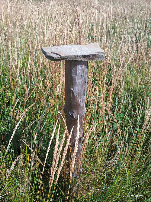

Logged on Vrcholovka 3x in total. Vrchol Velka Kycera was added here by Toni and info was completed by Toni.
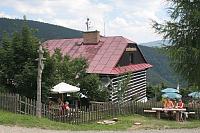
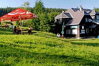
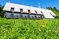
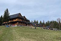
A geodetic point without prominence. On the ČÚZK map as Kyčera, on Mapy.cz even as Velká Kyčera. A classic resting place, when viewed from the valley it looks like a large mountain, but it is only the eastern spur of Kalužné without a peak.
There is no chalet on the peak.
Peak is not stroller accessible.
There are views from the peak.
There is no cable car to this peak.
No special equipment is required for this summit.
Peak is freely accessible.
Nearest peaks: Kalužný (994 m, 1.5 km) U Kamenitého (841 m, 1.6 km) Smrčina JV (978 m, 1.8 km) Kozubová JZ (938 m, 2.3 km) Babí vrch (952 m, 2.4 km) Kozubová (982 m, 2.4 km) Ostrý (1044 m, 2.8 km)
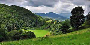 Główny Szlak Beskidzki – polský trail mezi Českou a Ukrajinskou hranicí
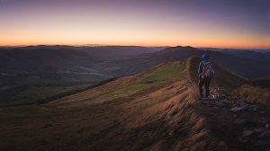 Přechod kysuckých Javorníků
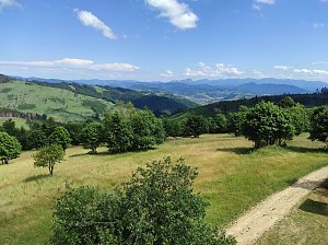
 Dolni Lomna › North
 Tyra

| today | tomorrow | day after tomorrow | |
|---|---|---|---|
| Dawn: | 6:06 | 6:08 | 6:09 |
| Sunrise: | 6:40 | 6:42 | 6:43 |
| Sunset: | 16:17 | 16:15 | 16:14 |
| Dusk: | 16:51 | 16:49 | 16:48 |