Roßkogel (2647 m a.s.l., Stubai Alps)
Register and log summit
Weather Roßkogel

About peak Roßkogel
 Rakousko
Vrchol Roßkogel was added here by Jan Blažej.
Help others and .
- Chalet/accommodation
-
There is no chalet on the peak.
- Stroller access
-
Peak is not stroller accessible.
- Views
-
There are views from the peak.
- Cable car
-
There is no cable car to this peak.
- Equipment
-
No special equipment is required for this summit.
- Accessibility
-
Peak is freely accessible.
Nearest peaks: Weißstein (2640 m, 0.5 km)
Routes nearby
Tůra na vrchol Saile hřebene Kalkkögel
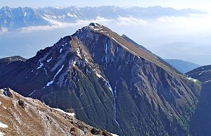 Ferratou na vrchol Grosse Ochsenwand
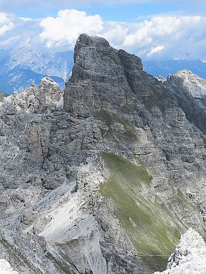 Nejvyšší vrchol hřebene Kalkkögel - Schlicker See Spitze
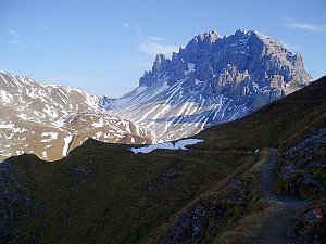 Po zajištěné cestě na vrchol Marchreisen Spitze
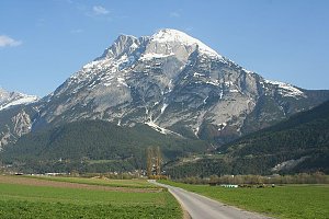
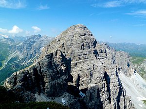 Výstup na Hohe Munde (2662 m) v pohoří Wetterstein
(elevation gain 1500 m, )
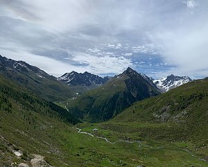
 Výstup na Hochreichkopf
(elevation gain 1400 m, 20 km)
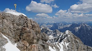
 Výstup na Zugspitze oklikou přes Reintalangerhütte
(elevation gain 4200 m, 36 km)
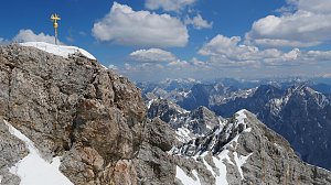
 Výstup na Zugspitze feratou Höllental
(elevation gain 2800 m, 20 km)
 Hřebenový přechod Zugspitze – Alpspitze (Jubiläusgratweg)
 Výstup na Zugspitze z rakouské strany
(elevation gain 2000 m, )
Routes provided by SvetOutdooru.cz
Ferratou na vrchol Grosse Ochsenwand
Nejvyšší vrchol hřebene Kalkkögel - Schlicker See Spitze
Po zajištěné cestě na vrchol Marchreisen Spitze
Výstup na Hohe Munde (2662 m) v pohoří Wetterstein(elevation gain 1500 m, )
Výstup na Hochreichkopf(elevation gain 1400 m, 20 km)
Výstup na Zugspitze oklikou přes Reintalangerhütte(elevation gain 4200 m, 36 km)
Výstup na Zugspitze feratou Höllental(elevation gain 2800 m, 20 km)
Hřebenový přechod Zugspitze – Alpspitze (Jubiläusgratweg)
Výstup na Zugspitze z rakouské strany(elevation gain 2000 m, )
Webcams
Gemeinde Gries im Sellrain › West: Kreuzlehn
( 2.8 km)
 Gemeinde Sankt Sigmund im Sellrain › East: Kreuzlehn
( 2.8 km)
 Gemeinde Gries im Sellrain: Sellrain - Gries
( 2.9 km)
 Roßkogelhütte
(1777 m a.s.l., 3.4 km)
 Roßkogelhütte › West: Rosskogelhütte
(1758 m a.s.l., 3.5 km)
 Gemeinde Sankt Sigmund im Sellrain › West: Sankt Sigmund im Sellrain
(1482 m a.s.l., 3.9 km)
 Gemeinde Sankt Sigmund im Sellrain › East: Sankt Sigmund im Sellrain
(1544 m a.s.l., 4.7 km)
 Gemeinde Sankt Sigmund im Sellrain › North-East: Gasthof Ruetz
(1556 m a.s.l., 4.7 km)
 Gemeinde Sankt Sigmund im Sellrain › North-East
(1548 m a.s.l., 4.8 km)

Cameras provided by windy.com
( 2.8 km)
Gemeinde Sankt Sigmund im Sellrain › East: Kreuzlehn( 2.8 km)
Gemeinde Gries im Sellrain: Sellrain - Gries( 2.9 km)
Roßkogelhütte(1777 m a.s.l., 3.4 km)
Roßkogelhütte › West: Rosskogelhütte(1758 m a.s.l., 3.5 km)
Gemeinde Sankt Sigmund im Sellrain › West: Sankt Sigmund im Sellrain(1482 m a.s.l., 3.9 km)
Gemeinde Sankt Sigmund im Sellrain › East: Sankt Sigmund im Sellrain(1544 m a.s.l., 4.7 km)
Gemeinde Sankt Sigmund im Sellrain › North-East: Gasthof Ruetz(1556 m a.s.l., 4.7 km)
Gemeinde Sankt Sigmund im Sellrain › North-East(1548 m a.s.l., 4.8 km)
Sun
| today | tomorrow | day after tomorrow | |
|---|---|---|---|
| Dawn: | 6:19 | 6:21 | 6:22 |
| Sunrise: | 6:51 | 6:52 | 6:54 |
| Sunset: | 17:07 | 17:05 | 17:04 |
| Dusk: | 17:38 | 17:37 | 17:35 |