


Cycling, 54 km
17.9.2025
 Česko
Teplice (Ústecký kraj)
Logged on Vrcholovka 8x in total. Vrchol Oldřišský vrch was added here by Bedřich Hak and info was completed by Martin Matějka a Tor.
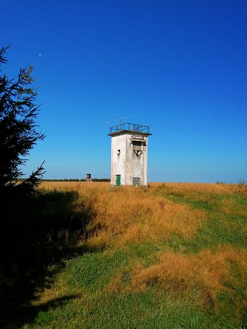
It is located southeast of the abandoned mountain village of Oldříš (Ullersdorf). It is a broad, partially forested peak, the highest in the Moldava area. Near the summit stands an inaccessible tower-like structure. South of the peak lies the famous Grunwald Heath Nature Reserve (a bog with dwarf pine growth, peatland flora, and a lekking and nesting site for the capercaillie).
There is no chalet on the peak.
Peak is not stroller accessible.
There are views from the peak.
There is no cable car to this peak.
No special equipment is required for this summit.
Peak is freely accessible.
Nearest peaks: Sklářský vrch (864 m, 1.5 km) Nad Křížkem (857 m, 2.2 km) Hemmschuh (846 m, 2.9 km) Nad Moldavou (797 m, 3 km)
 Moldava: Ústecký, Czech Republic
 Nové Město: Bouřňák Horská služba stanice
 Moldava › East: Pramenáč
 Moldava
 Moldava › South: Bouřňák - Ústecký kraj, Česko
 Nove Mesto u Mikulova: Sport Centrum Bouřňák - Vrchol Bouřňák, pohled na jih
 Mikulov
 Mikulov › North
 Mikulov
 Mikulov
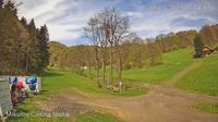 Mikulov
 Mikulov › South-East
 Mikulov
 Mikulov
 Mikulov
 Dlouhá Louka: Osek

| today | tomorrow | day after tomorrow | |
|---|---|---|---|
| Dawn: | 6:17 | 6:19 | 6:20 |
| Sunrise: | 6:51 | 6:53 | 6:55 |
| Sunset: | 16:46 | 16:44 | 16:42 |
| Dusk: | 17:20 | 17:18 | 17:17 |