

Hiking, 16 km
26.9.2026
 Polsko
 Slovensko
Žilinský kraj
Logged on Vrcholovka 317x in total. Vrchol Veľká Rača was added here by Denisa and info was completed by ŠenovKK, Laina666, Alexandr Starý a Martin Matějka.
Veľká Rača is part of challenges: Highest Points of Geomorphological Units of Slovakia, Nejhory Kysucké, Slovensko 200+
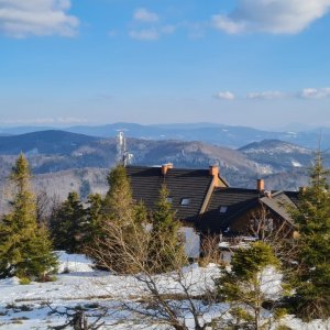
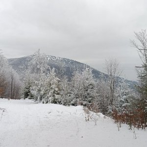
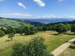
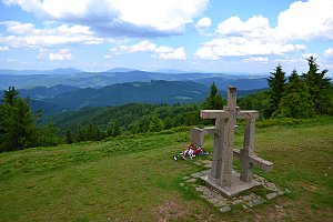
The highest mountain of the Kysucké Beskydy. A large part is covered by a national nature reserve established in 1976 (protection zone of 197 ha). Pseudokarst phenomena (Malá and Veľká skalná diera) occur here, which are rare in the Kysuce region. The state border between Slovakia and Poland runs through the summit of the mountain. On the Polish side of the summit, there is a hut (PTTK na Wielkiej Raczy). Numerous hiking trails intersect the summit. The green trail leads from the village of Oščadnica from the west and the green from the south from the village of Stará Bystrica, which also passes over the summit of Malá Rača, and from the Polish side via the yellow trail. The red ridge trail runs along the Slovak-Polish border over the summit. In good weather, it offers views of the Moravskoslezské Beskydy, Babia hora (1725 m a.s.l.), and the peaks of the Malá Fatra.
There is a chalet on the peak.
Peak is not stroller accessible.
There are views from the peak.
There is no cable car to this peak.
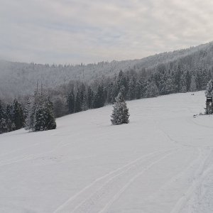
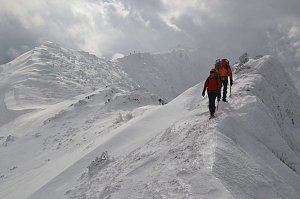
Snowshoes are recommended in winter.
Peak is freely accessible.
Nearest peaks: Malá Rača (1153 m, 1.3 km) Uplaz (1042 m, 1.6 km) Rovný vrch (870 m, 1.9 km) Orol (1118 m, 2.2 km) Orol SV (1052 m, 2.3 km) Veľký Príslop (1044 m, 2.4 km) Malý Príslop (985 m, 2.7 km) Vojtková mláka (992 m, 2.8 km) Malý Príslop SZ (971 m, 3.1 km)
 Přes Beskydy a Javorníky podél východní hranice
 Na Velký Rozsutec skrz Jánošíkove diery
 Přechod Malé Fatry
 Přechod Malé Fatry na sněžnicích
 Oscadnica: Snowparadise Veľká Rača - Lalíky vrcholová stanice
 Oscadnica: Snowparadise Veľká Rača - Dedovka vrchol
 District of Čadca
 Oscadnica: Snowparadise Veľká Rača - Dětská lyžařská školka

| today | tomorrow | day after tomorrow | |
|---|---|---|---|
| Dawn: | 5:49 | 5:51 | 5:52 |
| Sunrise: | 6:22 | 6:24 | 6:25 |
| Sunset: | 16:33 | 16:31 | 16:29 |
| Dusk: | 17:06 | 17:04 | 17:02 |