

Hiking, 8 km
19.8.2026
 Itálie
 Slovinsko
Logged on Vrcholovka 29x in total. Vrchol Mangart was added here by Petr Papcun and info was completed by Petr Papcun, Martin Matějka a Horymír.
Mangart is part of challenges: Julian Alps, TOP 10 Slovinsko, Vápencové ultraperly východních Alp
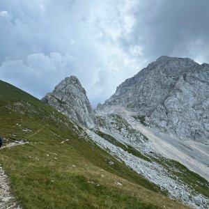
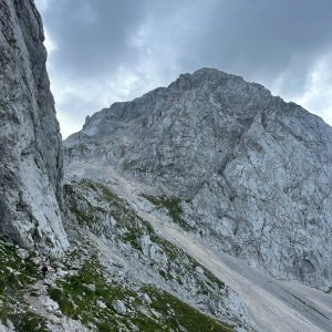
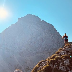
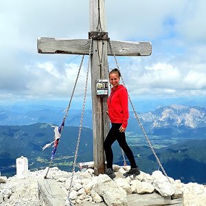
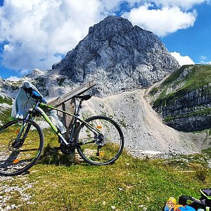
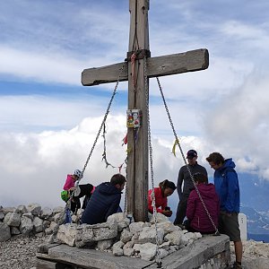
Mangart, locally known as Mangrt, is a prominent mountain in the Julian Alps, on the border between Italy and Slovenia. At an elevation of 2,679 meters, it is the third highest mountain in Slovenia. There are two routes leading directly to the summit: the via ferrata Slovenska pot (from the Slovenian side) and the via normale, which passes through Italian territory. For both ascents, it is recommended to wear a helmet due to the risk of falling rocks. The massif has an interesting history, during which its national affiliation changed, and the highest asphalt road in Slovenia was built. The number of vehicles on the road is regulated, and a fee of 10 euros (8/26) is charged for entry from 7:00 AM. The area is home to marmots and "alpine" black snakes, and the entire massif is part of Triglav National Park, thus entry off marked trails is prohibited.
There is no chalet on the peak.
Peak is not stroller accessible.
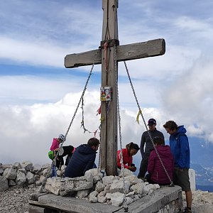
There are views from the peak.
There is no cable car to this peak.
depending on the chosen route, ferrata equipment and a helmet may be useful
Peak is freely accessible.
Nearest peaks: Vrh Planje (2495 m, 0.5 km) Rateški Mali Mangart (2263 m, 0.7 km) Vrh Jarečice (1981 m, 0.8 km) Monte Traunig / Travnik (2201 m, 0.9 km) Rdeča Glava (2043 m, 1.1 km) Mali vrh (1992 m, 1.5 km) Jalovec (2645 m, 2.8 km) Veliki Ozebnik (2480 m, 3.2 km)
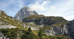 Výstup na horu Veliki Mangart
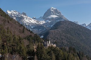 Výstup na Jalovec z doliny Tamar
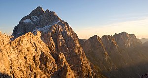 Výstup na Jalovec od jihu
Feratový okruh přes Jalovec a Malou Mojstrovku
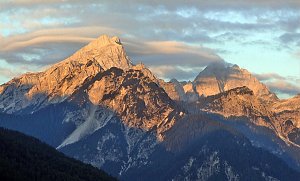 Túra nádherným údolím Planica
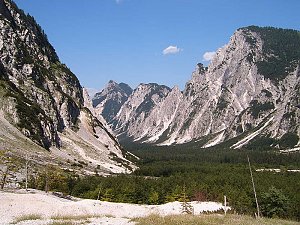 Za výhledy na vrchol Slemenova Špica
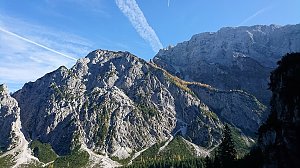 Výstup na Malou Mojstrovku zajištěnou cestou
 Túra krásnou přírodou podél potoku Limarica v Julských Alpách
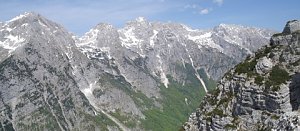 Výstup na vrchol Mala Mojstrovka v Julských Alpách
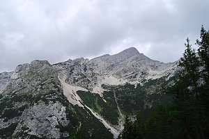 Túra do kopců okolo Lago del Predil
 Výstup na vrchol Bavški Grintavec
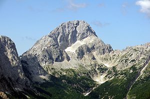 Výstup na Bavški Grintavec od řeky Soča v Julských Alpách
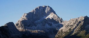 Výstup na vrchol Jerebica
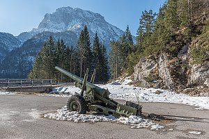 Nenáročná túra okolím Trenty k prameni řeky soča
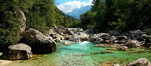 Výstup na nejzápadnější vrchol Karavanek - Ofen (slovinsky Peč, italsky Monto Forno)
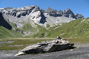 Snadný výstup na vyhlídkový Ofen v Karavankách
 Bovec: Log pod Mangartom

| today | tomorrow | day after tomorrow | |
|---|---|---|---|
| Dawn: | 7:01 | 7:03 | 7:04 |
| Sunrise: | 7:32 | 7:33 | 7:35 |
| Sunset: | 18:07 | 18:05 | 18:03 |
| Dusk: | 18:37 | 18:36 | 18:34 |