


Hiking
čt, 13.7.2023


 Slovensko
Prešovský kraj
Logged on Vrcholovka 3x in total. Spočinek Humbierk was added here by Jiřina and info was completed by Martin Matějka.
A pleasant forest path through pastures above the village of Batizovce leads to an unmarked summit located about 60m off this grassy trail.
There is no chalet on the peak.
Peak is not stroller accessible.
Limited, directly to the Gerlachovský kettle and Končistá.
There is no cable car to this peak.
No special equipment is required for this summit.
Peak is freely accessible.
 Okruh přes Východnou Vysokou
 Přechod tatranské magistrály
 Přechod Vysokých Tater
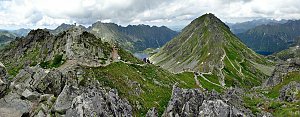 Slavkovský štít aneb vrchol v nedohlednu
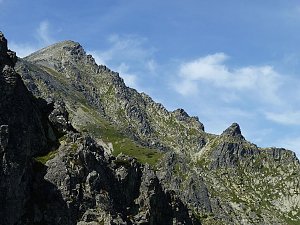 Dobrodružná turistika přes Priečne Sedlo
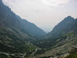 Výstup na Gerlachovský štít - normálkou
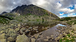 Výstup Martinkou na Gerlachovský štít
Žabí kôň ve Vysokých Tatrách: začátečnická klasika pro horolezce
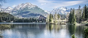 Zápisky horolezce: Žabí kôň je výzva!
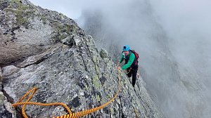 Letní lezecké výstupy na Lomnický štít a Žlutou stěnu
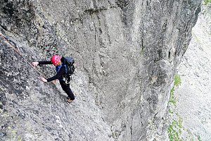 Stanisławského cestou v severní stěně na Vysokou
 Okruh kolem jezer v polských Vysokých Tatrách
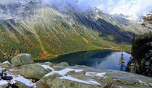
 District of Poprad › North
 Nový Smokovec
 District of Poprad: Nový Smokovec, Smokovec - Nový Smokovec
 District of Poprad › South
 District of Poprad: Starý Smokovec
 District of Poprad: Vysoke Tatry: Sliezsky Dom

| today | tomorrow | day after tomorrow | |
|---|---|---|---|
| Dawn: | 6:41 | 5:43 | 5:44 |
| Sunrise: | 7:14 | 6:15 | 6:17 |
| Sunset: | 17:32 | 16:31 | 16:29 |
| Dusk: | 18:05 | 17:03 | 17:01 |

