Hiking, 23 km
28.10.2024
 Norsko
Logged on Vrcholovka 44x in total. Peak information here was completed by Martin Matějka, krupjan a Daniel Ledl.
Galdhøpiggen is part of challenges: Crown of Europe, Highest Geographical Points of Europe, Highest Mountains of European Countries, Ultraprominent Europe
The highest mountain in Norway, Scandinavia, and the entire Caledonian system.
On the route from the Spiterstulen campsite, no special equipment is needed in summer. You will encounter snowfields at least twice, but they can be bypassed. The terrain is mostly rocky, moderately challenging compared to the High Tatras (if you have conquered Kriváň or Rysy, you can also conquer Galdhøpiggen). Unlike the Tatras, the ascent does not have adrenaline sections where you could fall. If you set out in August, do not underestimate the time for the ascent and leave the campsite no later than 10 AM to ensure you return before dark. In July, the advantage is that at 61° N latitude, there are so-called white nights, where it is not completely dark, just twilight. There is a parking lot and a bus stop at the Spiterstulen campsite. A bus from the town of Lom also goes there. You can park outside the parking lot in front of the campsite and easily set up a tent by your car. However, there is a fee for that (in the morning, a patrol checks and leaves payment notices on windshields and tents to pay at the reception). The parking fee for one car and one tent for one night cost us 440 NOK (we were 4 people). The campsite has freely accessible toilets and showers. The toilet is free, the shower costs 35 NOK/6 min (payment is only by card). In the reception building, there is a large relaxation room where you can connect to Wi-Fi, have tea, coffee, or beer, which you can buy at the reception.
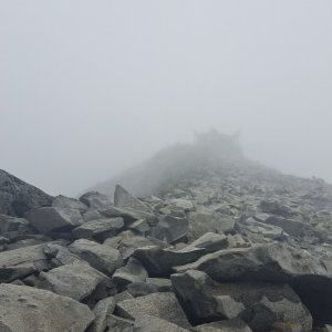
There is a chalet on the peak.
Peak is not stroller accessible.
There are views from the peak.
There is no cable car to this peak.
It is recommended to proceed in a roped party when crossing the glacier.
Peak is freely accessible.
Nearest peaks: Keilhaus Topp (2355 m, 0.8 km) Svellnose (2272 m, 1.4 km)
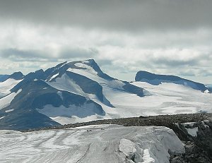 Čtyřdenní přechod přes nejvyšší skandinávské pohoří Jotunheimen
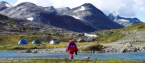 Třídenní přechod pohořím Jotunheimen kolem jezer
| today | tomorrow | day after tomorrow | |
|---|---|---|---|
| Dawn: | 7:01 | 7:03 | 7:06 |
| Sunrise: | 7:48 | 7:51 | 7:53 |
| Sunset: | 16:32 | 16:29 | 16:26 |
| Dusk: | 17:19 | 17:17 | 17:14 |