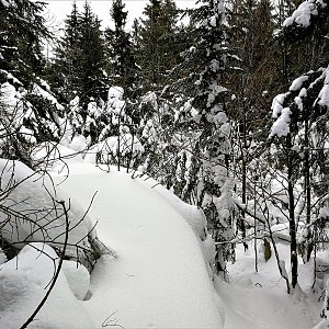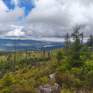

Hiking, 43 km
7.5.2026

 Česko
Český Krumlov (Jihočeský kraj)
Logged on Vrcholovka 15x in total. Peak information here was completed by Bouřka.
Tokaniště is part of challenge: Šumavské tisícovky
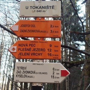
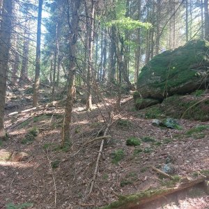
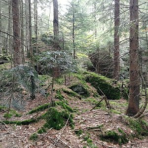
The name Tokaniště is unofficial and is derived from the rock outcrops in the southeast. The summit is also located near the tourist crossroads U Tokaniště. The separate place is not named on maps. The peak lies about 3000 m southeast of Smrčina. It is a projection of the ridge, where we can find nice rock formations. (tisicovky.cz)
There is no chalet on the peak.
Peak is not stroller accessible.
There are no views from the peak.
There is no cable car to this peak.
No special equipment is required for this summit.
Peak is freely accessible.
Nearest peaks: Fleischhackerberg JV (1040 m, 0.8 km) Fleischhackerberg JV2 (1035 m, 0.9 km) Nad Zadní Zvonkovou (926 m, 1.4 km) Obere Grüneisfelsen (1047 m, 1.5 km) Kopka (1119 m, 1.6 km) Sulzberg SZ (939 m, 1.8 km) Grüneisfelsen (940 m, 1.9 km) Nad Celnicí (914 m, 1.9 km) Fleischhackerberg (1222 m, 2.1 km) Sperrbűhel (982 m, 2.7 km) Sulzberg (1041 m, 2.7 km) Sulzberg JZ (1040 m, 3.1 km) Alpenblick (1041 m, 3.4 km)
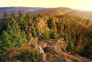 Via Czechia: Jižní stezka

 Ulrichsberg: Schöneben - Nordisches Zentrum Böhmerwald
 Ulrichsberg: Schöneben - Nordisches Zentrum Böhmerwald
 Ulrichsberg: Schöneben - Nordisches Zentrum Böhmerwald
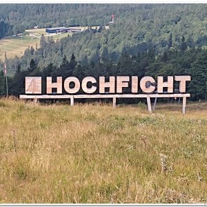
 Klaffer am Hochficht: Hochficht Böhmerwald - Hochficht Bergstation
 Klaffer am Hochficht: Hochficht Böhmerwald - Skiarena Hochficht

| today | tomorrow | day after tomorrow | |
|---|---|---|---|
| Dawn: | 7:04 | 7:06 | 6:07 |
| Sunrise: | 7:36 | 7:38 | 6:39 |
| Sunset: | 18:00 | 17:58 | 16:56 |
| Dusk: | 18:32 | 18:30 | 17:28 |