



Cycling, 39 km
27.3.2024
 Česko
Brno-město (Jihomoravský kraj)
Logged on Vrcholovka 6x in total. Vrchol Zápaď was added here by dibdob and info was completed by Jiřina.
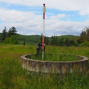
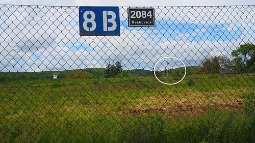
The summit is located in the reservoir area and is about 20m from the fence. It is clearly visible and marked with a pole, a ring, and a stone. The gently marked path is accessible year-round to everyone.
There is no chalet on the peak.
This peak is accessible with a stroller.
There are no views from the peak.
There is no cable car to this peak.
No special equipment is required for this summit.
Summit pole behind the fence in the waterworks area, surrounded by gardens.
Nearest peaks: Nad Sv.Františkem (328 m, 1.4 km) Na pískách (327 m, 1.6 km) Bosně (365 m, 1.7 km) Malá Baba (399 m, 1.8 km) Medlánecký kopec (323 m, 2 km) Velká Baba (446 m, 2.1 km) Střelecký kopec (338 m, 2.4 km) Na Úlehlích (294 m, 2.7 km) Ostrá hora (366 m, 2.7 km) Sychrov (463 m, 2.8 km) Strážná (369 m, 3.3 km) Palackého vrch (340 m, 3.4 km) Šupelák (418 m, 3.8 km)
| today | tomorrow | day after tomorrow | |
|---|---|---|---|
| Dawn: | 6:56 | 5:57 | 5:59 |
| Sunrise: | 7:28 | 6:30 | 6:31 |
| Sunset: | 17:47 | 16:45 | 16:43 |
| Dusk: | 18:19 | 17:17 | 17:16 |