

Hiking, 13 km
28.7.2026
 Česko
Klatovy (Plzeňský kraj)
Logged on Vrcholovka 16x in total. Peak information here was completed by Michal Kříž, Bouřka a Martin Matějka.
Adamova hora J is part of challenge: Šumavské tisícovky
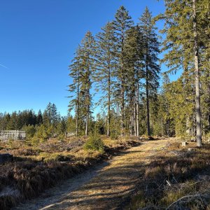
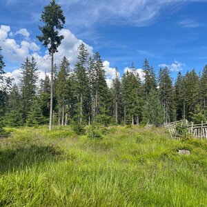
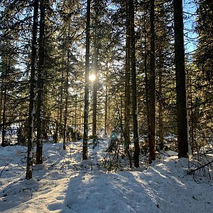
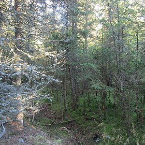
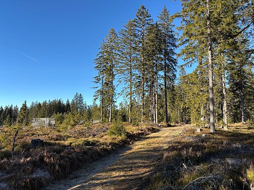
A secondary peak of Adamova hora located 1260 m to the south-southeast. A flat ridge, surrounded from the west and south by Roklanský potok and from the east by Vydra. Covered with spruce forest, with some smaller meadows. The highest point is at the intersection of the ridge path with a prominent watercourse. (tisicovky.cz)
According to the ČÚZK map, the peak is 1049.6 m high and the saddle is at 1034.3 m according to the elevation analysis, giving it a prominence of over 15 m and unofficially making it a main thousand-meter peak. Ironically, Adamova hora, originally the parent thousand-meter peak of this secondary summit, has a prominence of 13 m according to the ČÚZK map and is merely a secondary peak of Oblík.
There is no chalet on the peak.
Peak is not stroller accessible.
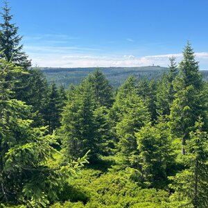
There are no views from the peak.
There is no cable car to this peak.
No special equipment is required for this summit.
Peak is freely accessible.
Nearest peaks: Adam's Mountain (1078 m, 1.3 km) Rybárenská slať (1052 m, 1.4 km) Jelení vrch JZ (1107 m, 1.7 km) Modravská hora (1157 m, 1.9 km) Skalky (1120 m, 1.9 km) Výběžek (1028 m, 2.3 km) Modravská hora Z (1110 m, 3.1 km) Schätzův les (965 m, 3.1 km) Kostelní vrch J (1007 m, 3.7 km)
 Modrava › North-West
 Modrava
 Modrava: Filipova Huť, Šumava
 Filipova Huť
 Srni: Srní - Staré Srní, Šumava - Böhmerwald
 Srní: pohled ke Starému
 Březník: pohled na Luzný (Lusen)

| today | tomorrow | day after tomorrow | |
|---|---|---|---|
| Dawn: | 7:06 | 7:08 | 6:09 |
| Sunrise: | 7:39 | 7:40 | 6:42 |
| Sunset: | 18:01 | 17:59 | 16:57 |
| Dusk: | 18:33 | 18:32 | 17:30 |