Cycling, 24 km
10.5.2026
 Česko
Prachatice (Jihočeský kraj)
Logged on Vrcholovka 17x in total. Peak information here was completed by Bouřka, Vladimír Grančay a Martin Matějka.
Janská hora is part of challenge: Šumavské tisícovky
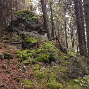
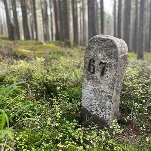
Also known as Martin Luther Mountain. The secondary peak Přilba is located 3500 m to the south. The end of the southern ridge of Přilba and Zvěřín above the settlement of Františkov in the Teplá Vltava valley. Scattered rubble and boulders in places. Covered with spruce forest. There is a geodetic point at the summit. (tisicovky.cz)
There is no chalet on the peak.
Peak is not stroller accessible.
There are no views from the peak.
There is no cable car to this peak.
No special equipment is required for this summit.
Peak is freely accessible.
Nearest peaks: Zvěřín JZ (1115 m, 0.6 km) Zvěřín (1134 m, 1.5 km) Kamenáč (1049 m, 1.6 km) Orel JV (1117 m, 1.8 km) Stanová hora (1160 m, 1.9 km) Vysoký stolec JV (1173 m, 2.8 km) U Českých chalup (1017 m, 2.9 km) Vysoký stolec (1252 m, 2.9 km) Viewpoint (1068 m, 3.3 km) Table Mountain (1256 m, 3.4 km) Southwest Viewpoint (1057 m, 3.5 km)
 Přechod Šumavy přes nouzová tábořiště - na těžko se spaním v srdci národního parku
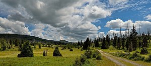 Zlatá stezka: malebnými hvozdy Šumavy, Českého a Bavorského lesa
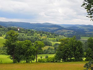
 Nove Hute › West
 Kvilda: Obec - Chalupa Ve Stráni
 Kvilda
 Kvilda: Jezerní potok (pohled směr Horská)
 Kvilda
 Kvilda: I, POI 1
 Kvilda: Horská
 Stachy › North: Ski area Zadov
 Stachy: Zadov
 Zadov
 Lesní Chalupy: Zadov − lyžařský areál
 Churánov: Zadov, U hořejšů
 Churánov: Churáňov, meterologická stanice

| today | tomorrow | day after tomorrow | |
|---|---|---|---|
| Dawn: | 6:10 | 6:12 | 6:13 |
| Sunrise: | 6:43 | 6:44 | 6:46 |
| Sunset: | 16:55 | 16:53 | 16:52 |
| Dusk: | 17:28 | 17:26 | 17:24 |