


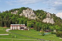
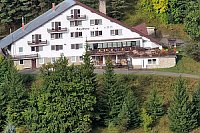


Hiking, 8 km
5.7.2022
 Slovensko
Žilinský kraj
Logged on Vrcholovka 3x in total. Spočinek Kopanica was added here by p_e_t_r_95 and info was completed by Martin Matějka a tusombol.
A rest without prominence.
There is no chalet on the peak.
This peak is accessible with a stroller.
There are views from the peak.
There is no cable car to this peak.
No special equipment is required for this summit.
Peak is freely accessible.
Nearest peaks: Bukovinka (707 m, 1.2 km) Piesočná (594 m, 1.2 km) Lipá (624 m, 1.4 km) Mních (Hradiská) (695 m, 1.4 km) Konislav (732 m, 1.5 km) Likavské hradné bralo (645 m, 1.6 km) Hradisko na Prednom Choči (1199 m, 2 km) Lovisko (808 m, 2 km) Mních (657 m, 2 km) Siksov (918 m, 2.3 km) Predný Choč (1249 m, 2.4 km) Siksov VJV (882 m, 2.5 km) Kramariska (661 m, 2.9 km)
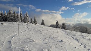
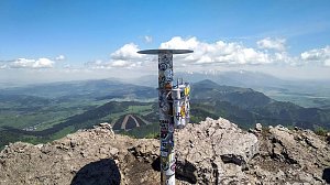 Zimní přechod Velké Fatry
| today | tomorrow | day after tomorrow | |
|---|---|---|---|
| Dawn: | 5:49 | 5:50 | 5:52 |
| Sunrise: | 6:22 | 6:23 | 6:25 |
| Sunset: | 16:30 | 16:29 | 16:27 |
| Dusk: | 17:03 | 17:01 | 17:00 |


