Tępy Szczyt (1387 m a.s.l., Giant Mountains)
Register and log summit


About peak Tępy Szczyt
 Polsko
Logged on Vrcholovka 49x in total. Vrchol Tępy Szczyt was added here by p_e_t_r_95 and info was completed by Martin Matějka.
Tępy Szczyt is part of challenges: Koruna Sudet, Tisícovky Krkonoš
Help others and .
- Chalet/accommodation
-
There is no chalet on the peak.
- Stroller access
-
Peak is not stroller accessible.
- Views
-
There are views from the peak.
- Cable car
-
There is no cable car to this peak.
- Equipment
-
No special equipment is required for this summit.
- Accessibility
-
The solitary peak is located in impenetrable dwarf pine and, due to the protection of the area, is inaccessible. From the south, the main Krkonoš ridge trail - the Czech-Polish Friendship Path - bypasses it at a distance of 200 meters.
Nearest peaks: Malý Šišák (1440 m, 0.7 km) Białe Skały (1165 m, 1.2 km) Ptasiak (1046 m, 1.4 km) Stříbrný hřbet (1490 m, 1.5 km) Čertovo návrší (1472 m, 1.7 km) Sucha Góra J (1084 m, 1.7 km) Słonecznik (1423 m, 1.8 km) Sucha Góra (1113 m, 2 km) Čihadlo (1214 m, 2.1 km) Sucha Góra SZ1 (1094 m, 2.1 km) Sucha Góra SZ2 (1093 m, 2.1 km) Kozí hřbety V (1387 m, 3 km) Kozí hřbety (1318 m, 3.2 km) Kozí hřbety V2 (1390 m, 3.2 km)
Routes nearby
(elevation gain 1800 m, 50 km)
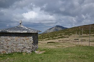 Via Czechia: Severní stezka
(elevation gain 31000 m, 1058 km)
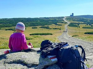
 Přechod Krkonoš s dětmi
(elevation gain 1400 m, 40 km)
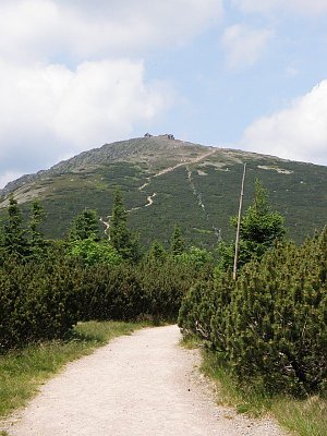
 Výstup na Sněžku z Polska
(elevation gain 1000 m, 13 km)
Mountain chalets
(906 m a.s.l., 2.5 km)
(1280 m a.s.l., 3.5 km)
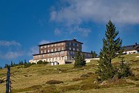
(1225 m a.s.l., 3.7 km)

(1425 m a.s.l., 4.1 km)
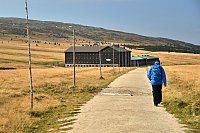
(1363 m a.s.l., 5.4 km)
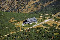
(1280 m a.s.l., 5.8 km)
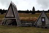
(1349 m a.s.l., 6.3 km)
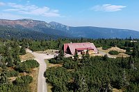
(1313 m a.s.l., 6.5 km)
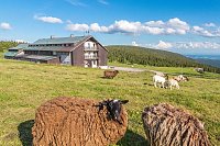
Webcams
(1196 m a.s.l., 1.6 km)
 Svatý Petr: Erlebachova bouda
(1124 m a.s.l., 1.7 km)
 Špindlerův Mlýn: Erlebachova bouda I - Špindlerův Mlýn
(1143 m a.s.l., 1.7 km)
 Borowice › North: Karpacz - Giant Mountains
(1278 m a.s.l., 3.7 km)
 Borowice: Schronisko Samotnia, Karpacz
(1266 m a.s.l., 3.7 km)
 Špindlerův Mlýn: Špindlerův Mlýn - CHATA VATRA
(1229 m a.s.l., 3.8 km)
 Pec pod Snezkou: Krkonoše - Luční bouda (pohled na boudu se sezením)
(1418 m a.s.l., 4 km)
 Pec pod Snezkou › East: Luční bouda - Královéhradecký kraj, Česko
(1417 m a.s.l., 4.1 km)
 Špindlerův Mlýn: STOH - Svatý Petr | Špindlerův Mlýn, Czech republic
(1194 m a.s.l., 4.9 km)
 Spindleruv Mlyn: Svaty Petr II, Nástup Lanovky
( 5.7 km)
 Spindleruv Mlyn: Svaty Petr II, Restaurace
( 5.7 km)
 Spindleruv Mlyn › South-East
(807 m a.s.l., 5.8 km)
 Pec pod Snezkou › North-East: Sněžka - Na Rozcestí
(1345 m a.s.l., 6.3 km)
 Pec pod Snezkou › North-east: Luční hora - Studniční hora - Sněžka
( 6.3 km)
 Pec pod Snezkou › North
(1034 m a.s.l., 6.5 km)
 Pec pod Sněžkou: Chalupa na Rozcestí (Krkonoše)
(1332 m a.s.l., 6.6 km)
 Bedrichov: Svatý Petr - Pláň - Špindlerův Mlýn
(1183 m a.s.l., 6.7 km)
 Spindleruv Mlyn: Hromovka
( 6.7 km)
 Predni Labska: Město Špindlerův Mlýn - Svatý Petr, Pláně
(1175 m a.s.l., 6.8 km)

Sun
| today | tomorrow | day after tomorrow | |
|---|---|---|---|
| Dawn: | 6:09 | 6:11 | 6:12 |
| Sunrise: | 6:43 | 6:45 | 6:47 |
| Sunset: | 16:38 | 16:36 | 16:34 |
| Dusk: | 17:12 | 17:10 | 17:09 |