
Hiking
so, 13.4.2024, 13:40
 Slovensko
Banskobystrický kraj
Logged on Vrcholovka 4x in total. Vrchol Kopanice was added here by Jaroslav Flidr and info was completed by Martin Matějka, Jaroslav Flidr a Jozef Farkaš.
Kopanice is part of challenge: Highest Points of Geomorphological Units of Slovakia
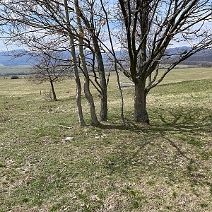
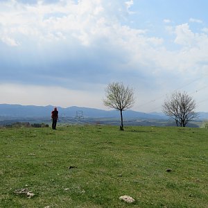
The views from the summit are limited
There is no chalet on the peak.
Peak is not stroller accessible.
There are no views from the peak.
There is no cable car to this peak.
No special equipment is required for this summit.
The area is used for grazing cattle, so access is complicated as it is often closed off by electric fences!!
Nearest peaks: Vlčí hrb (464 m, 1.3 km) Kýpec (460 m, 3.7 km)
| today | tomorrow | day after tomorrow | |
|---|---|---|---|
| Dawn: | 6:44 | 6:46 | 5:47 |
| Sunrise: | 7:17 | 7:18 | 6:20 |
| Sunset: | 17:40 | 17:39 | 16:37 |
| Dusk: | 18:13 | 18:11 | 17:09 |