

Hiking, 14 km
11.8.2026

 Švýcarsko
Logged on Vrcholovka 4x in total. Vrchol Unterrothorn was added here by Martin Horáček.
Unterrothorn (or simply Rothorn) is a mountain in the Swiss Wallis Alps, overlooking Zermatt in the Valais canton. It is located west of Oberrothorn, north of the Findel Glacier.
The summit can be reached by cable car via Sunnegga and Blauherd. The Rothorn area is one of the main ski resorts around Zermatt.
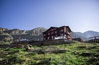
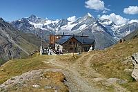
The nearest mountain hut is Fluhalp, located 1,369 m southeast of the summit.
In terms of prominence, Unterrothorn ranks 74th out of 345 in Visp.
There is no chalet on the peak.
Peak is not stroller accessible.
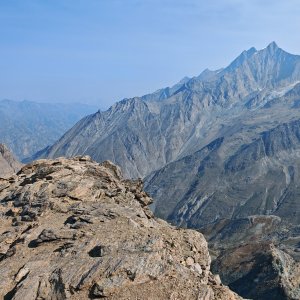
There are views from the peak.
A cable car goes to this peak.
No special equipment is required for this summit.
Peak is freely accessible.
Nearest peaks: Oberrothorn (3413 m, 1.4 km)
 Výstup na švýcarskou čtyřtisícovku Weisshorn přes jižní, skalnatou hranou
Traverz tří Walliských klenotů – Alphubel – Täschhorn – Dom
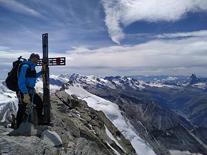 Pohodový trek pod nádherným Matterhornem
Výstupy v alpské čtyřtisícovky Bishorn a Combin de Valsorey, pro který byl motivátorem sám Ueli Steck
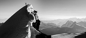 Výstup na čtyřtisícovku Dom, aneb jak jsme lezli na jeden z nejkrásnějších kopců Alp
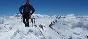 Výstup na snadnou čtyřtisícovku Breithorn ve Walliských Alpách
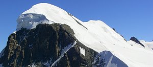 Výstup na Castor (4226 m) ze švýcarského Zermattu přes Rif. Lambronecca
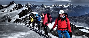 Výstup na čtyřtisícovku Castor od jihu z italského Grenne
Výstup na čtyřtisícovku Signalkuppe ve švýcarských Alpách
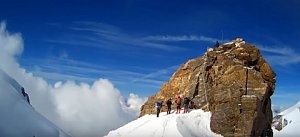
 Ried: Zermatt, Fluhalp
 Ried: Zermatt, Findeln
 Zermatt › South
 Ried: Air Zermatt − Heliport
 Ried: Air Zermatt − Zermatt
 Zermatt: Weisshorn
 Zermatt: Gornergletscher
 Zermatt: Air
 Zermatt › South: Matterhorn
 Zermatt: Edelweiss
 Zermatt: Kirche
 Zermatt: Blick auf das Matterhorn vom Balkon des Hotel Ambiance
 Blatten › South: Matterhorn
 Zermatt: Riffelalp Resort m
 Zermatt: Riffelalp Resort 2222m
 Zermatt
 Zermatt: Gornergrat MGB
 Zermatt: Matterhorn (Riffelberg)
 Zermatt › South-West: Unteren Riffelalp, Matterhorn
 Tasch

| today | tomorrow | day after tomorrow | |
|---|---|---|---|
| Dawn: | 6:34 | 6:35 | 6:36 |
| Sunrise: | 7:05 | 7:06 | 7:07 |
| Sunset: | 17:19 | 17:18 | 17:16 |
| Dusk: | 17:50 | 17:49 | 17:47 |

