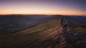
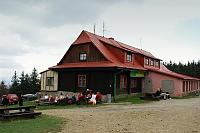
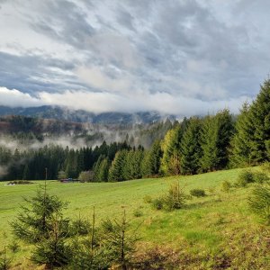

Hiking, 83 km
18.4.2025
 Česko
Frýdek-Místek (Moravskoslezský kraj)
Logged on Vrcholovka 2x in total. Spočinek Velká Čantoryje Z2 was added here by ZdenkaV.
The summit is accessible from the red hiking trail, there is no path leading to it, you must push through dry vegetation, located by GPS - not marked by a triangulation point.
There is no chalet on the peak.
Peak is not stroller accessible.
There are no views from the peak.
There is no cable car to this peak.
No special equipment is required for this summit.
Peak is freely accessible.
Nearest peaks: Velká Čantoryje Z (958 m, 0.9 km) Zakámen (740 m, 1.2 km) Czantoria Mała JZ (865 m, 1.6 km) Czantoria Mała (866 m, 1.8 km) Gronik (720 m, 1.8 km) Velká Čantoryje (995 m, 1.9 km) Ostrý vrch (709 m, 2 km) Vrchhora (483 m, 2.2 km) Kamenný (584 m, 2.8 km) Grodzisko (550 m, 3.4 km) Królów (468 m, 3.5 km) Mionší (745 m, 3.5 km) Malý Sošov / Soszów Mały (763 m, 3.6 km)
 Ustron: Czantoria
 Ustron: CZANTORIA -ski Ustroń
 Wisla: HOTEL STOK, Stok Stacja Narciarska
 Pod Skalnity: Stacja Narciarska SOSZÓW - NOWOŚĆ
 Pod Skalnity: Stacja Narciarska SOSZÓW - NOWOŚĆ
 Bystrice › South-West

| today | tomorrow | day after tomorrow | |
|---|---|---|---|
| Dawn: | 6:06 | 6:07 | 6:09 |
| Sunrise: | 6:40 | 6:41 | 6:43 |
| Sunset: | 16:16 | 16:15 | 16:13 |
| Dusk: | 16:50 | 16:49 | 16:47 |