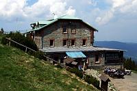


Hiking, 47 km
15.11.2025
 Česko
Šumperk (Olomoucký kraj)
Logged on Vrcholovka 29x in total. Peak information here was completed by krupjan, Martin Matějka a Bouřka.
Spálený vrch is part of challenge: Thousanders of the Jeseníky
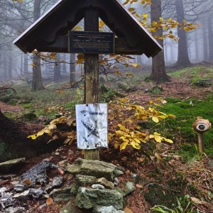
The summit has a name on the maps, but it is a few decimeters lower than its unnamed neighbor. The ascent is best taken from the west along a paved path that runs a bit south of the summit, or from the Vilibaldka hut through a clearing.
There is no chalet on the peak.
Peak is not stroller accessible.
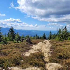
There are no views from the peak.
There is no cable car to this peak.
No special equipment is required for this summit.
Peak is freely accessible.
Nearest peaks: Spálený vrch SV (1313 m, 0.4 km) Klínová hora (1179 m, 0.8 km) Vozka (1377 m, 1 km) Polom (1128 m, 1.6 km) Červená hora (1333 m, 1.8 km) Šindelná hora (1126 m, 2.3 km) Černá stráň SV (1111 m, 2.4 km) Jelení stráň (1070 m, 2.7 km) Šindelná hora JZ (1057 m, 2.9 km) Keprník (1423 m, 3 km) Divoká skála (962 m, 3.3 km) Žalostná (1352 m, 3.3 km)
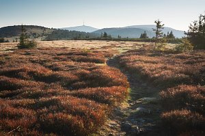 Via Czechia - Stezka Slezkem
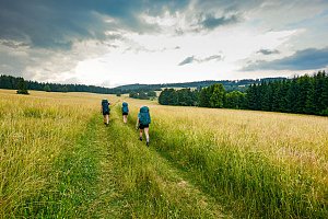 Přechod Rychlebských hor
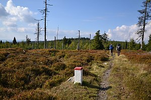
 Bela pod Pradedem: Červenohorské sedlo
 Bela pod Pradedem: Červenohorské sedlo
 Bela pod Pradedem: Červenohorské sedlo
 Loucna nad Desnou
 Bela pod Pradedem: Filipovice - POI 1
 Ramzová: Serak, Jeseniki
 Ostruzna › North-East
 Loucna nad Desnou: Skiareál Kouty nad Desnou - Sjezdovka K Snowparku
 Loucna nad Desnou › North-West: Penzion Přemyslov - Ski resort Premyslov
 Ostruzna: Skiarena R Ramzová - Horní část sjezdovky Skiareálu Ramzová
 Ostruzna: Skiarena R Ramzová - Horské minikáry
 Ramzová: Ski Center R3 Ramzova
 Loucna nad Desnou: Kouty nad Desnou
 Loucna nad Desnou: Kouty nad Desnou
 Loucna nad Desnou: Kouty nad Desnou
 Ostruzna: Ramzová

| today | tomorrow | day after tomorrow | |
|---|---|---|---|
| Dawn: | 5:58 | 5:59 | 6:01 |
| Sunrise: | 6:31 | 6:33 | 6:34 |
| Sunset: | 16:39 | 16:37 | 16:35 |
| Dusk: | 17:12 | 17:11 | 17:09 |