


Hiking, 32 km
28.9.2026
 Česko
Jeseník (Olomoucký kraj)
Logged on Vrcholovka 62x in total. Peak information here was completed by Jakub Kaleta a Martin Matějka.
Točník is part of challenge: Thousanders of the Jeseníky
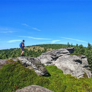
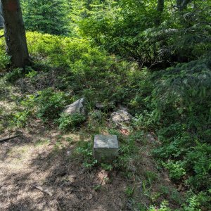
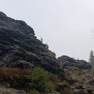
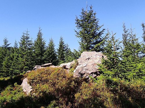
At the summit, there is a small rock outcrop (tor), about 70 m southwest of the geodetic point. According to the elevation analysis, the highest rock outcrop is less than 50 m from the geodetic point. It measures 1145.42 m and the saddle 1140.72 m, giving a prominence of 4.7 m, making it more of a bump than a secondary thousand-meter peak. Both summit rock outcrops should be remeasured.
There is no chalet on the peak.
Peak is not stroller accessible.
There are views from the peak.
There is no cable car to this peak.
No special equipment is required for this summit.
Peak is freely accessible.
Nearest peaks: Červená hora (1333 m, 1.4 km) Bršť (695 m, 2.1 km) Žalostná (1352 m, 2.3 km) Hříbkova hora (662 m, 2.5 km) Šindelná hora (1126 m, 3.2 km) Velký Klín JZ (1092 m, 3.6 km)
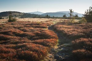 Přechod hlavního hřebene Hrubého Jeseníku
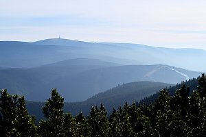
 Bela pod Pradedem: Červenohorské sedlo
 Bela pod Pradedem: Červenohorské sedlo
 Bela pod Pradedem: Červenohorské sedlo
 Kouty nad Desnou: Červenohorské sedlo - Modrá sjezdovka - dojezd k lanové dráze
 Loucna nad Desnou
 Ramzová: Serak, Jeseniki
 Dolni Lipova: Skiareál - Skipark Filipovice - Horní stanice Lanové dráhy
 Loucna nad Desnou: Skiareál Kouty nad Desnou - Sjezdovka K Snowparku
 Horni Lipova: SKICENTRUM Miroslav Lipová Lázně - Výstupní stanice lanové dráhy

| today | tomorrow | day after tomorrow | |
|---|---|---|---|
| Dawn: | 6:53 | 6:54 | 5:56 |
| Sunrise: | 7:26 | 7:28 | 6:29 |
| Sunset: | 17:44 | 17:43 | 16:41 |
| Dusk: | 18:18 | 18:16 | 17:14 |