

Hiking, 41 km
27.9.2025
 Česko
Trutnov (Královéhradecký kraj)
Logged on Vrcholovka 11x in total. Spočinek Hladíkova výšina was added here by Mountainer.
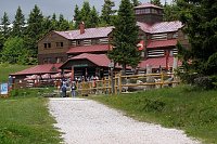
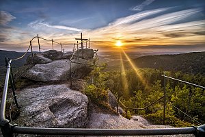
A viewpoint peak on the ridge between Janský Lázně and Javorník. Near the summit, there is a tourist signpost with seating and the private Janská bouda. In the surrounding area, a large number of blueberries ripen in the summer.
Janská bouda is privately owned and not accessible to tourists.
This peak is accessible with a stroller.
The slopes of Černá hora, but especially the foothills of the Krkonoš towards Rudník and Trutnov.
There is no cable car to this peak.
No special equipment is required for this summit.
Peak is freely accessible.
Nearest peaks: Janská hora (728 m, 0.9 km) Zlatá vyhlídka (806 m, 0.9 km) Šibeniční vrch (809 m, 1.4 km) Černá hora (1300 m, 3.9 km)
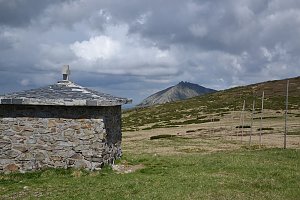
 Přechod přes Adršpach a Broumovsko
 Výstup na Sněžku z Polska
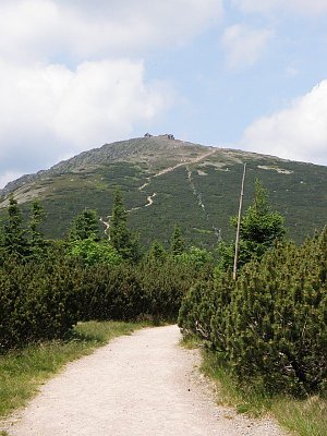 Přechod Krkonoš
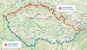
 Via Czechia: Severní stezka
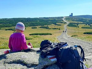
 Přechod Krkonoš s dětmi
 Janske Lazne › East
 Janske Lazne: Janské Lázně, Černá hora - Hoffmanky
 Cerna Hora › South: Janské Lázně
 Černá Hora: Zinneckerovy boudy
 Janske Lazne: Černá Hora Lookout
 Janske Lazne: Janské Lázně, Černá hora - Černá hora
 Janske Lazne: Janské Lázně, Černá hora - Černá hora
 Janske Lazne: Janské Lázně, Černá hora - Pod Sokolskou boudou
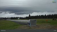 Janske Lazne: Janské Lázně, Černá hora - Pod Sokolskou boudou
 Janske Lazne › South-West
 Janske Lazne › South
 Janske Lazne: Černá hora - Vysílač ČRa
 Rudnik › North-West: Rudník
 Pec pod Snezkou: Javor
 Pec pod Snezkou: Javor
 Pec pod Snezkou: Schneekope
 Pec pod Snezkou: Schneekope

| today | tomorrow | day after tomorrow | |
|---|---|---|---|
| Dawn: | 6:17 | 6:18 | 6:20 |
| Sunrise: | 6:51 | 6:53 | 6:54 |
| Sunset: | 16:29 | 16:27 | 16:26 |
| Dusk: | 17:03 | 17:02 | 17:00 |