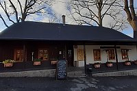


Hiking, 10 km
18.10.2026
 Česko
Nový Jičín (Moravskoslezský kraj)
Logged on Vrcholovka 2534x in total. Peak information here was completed by Alexandr Starý.
Radhošť is part of challenges: Cross on the Summit of Domestic Mountains and Hills, Crown of Regions and Districts, Crown of the Moravian-Silesian Beskids, Highest Peaks of the Moravian-Silesian Beskids, Národní divadlo, Nejhory Moravskoslezska, Nejhory Valašska, Thousanders of the Czech Republic, Ultrapeaks, Via Czechia Severní stezka
Radhošť is a mountain in the Moravian-Silesian Beskids at the end of the prominent Pustevny Ridge, 3 km southwest of Trojanovice and 6 km northeast of Rožnov pod Radhoštěm. With an elevation of 1129 m above sea level, it is the seventh highest mountain in the Moravian-Silesian Beskids and their westernmost peak over a thousand meters.
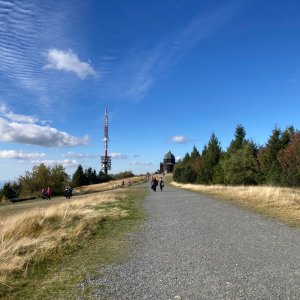
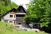
There is a chalet on the peak.
This peak is accessible with a stroller.
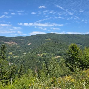
There are views from the peak.
You can use the cable car from Ráztoka to Pustevny, from there continue along the ridge.
It is also possible to drive to Pustevny.
No special equipment is required for this summit.
Peak is freely accessible.
Nearest peaks: Radegast Z2 (1099 m, 1.2 km) Mjaší (902 m, 1.4 km) Velká Polana (981 m, 1.4 km) Radegast Z1 (1100 m, 1.9 km) Černá hora (901 m, 2.1 km) Kamenné V (797 m, 2.7 km) Kamenné (745 m, 2.8 km) Bečovská Kyčera (783 m, 3.6 km)
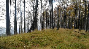 Přechod hřebene Beskyd
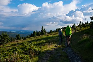
 Radhošť Východ
 Radhošť
 Trojanovice › North-East: Pustevny Lanovka samoobslužná restaurace
 Pustevny
 Dolni Becva › North-West: Dolní Bečva
 Ticha › South: Radhošť

| today | tomorrow | day after tomorrow | |
|---|---|---|---|
| Dawn: | 6:48 | 6:49 | 5:51 |
| Sunrise: | 7:20 | 7:22 | 6:24 |
| Sunset: | 17:41 | 17:40 | 16:38 |
| Dusk: | 18:14 | 18:12 | 17:10 |